
Western Europe Map – National Geographic Magazine
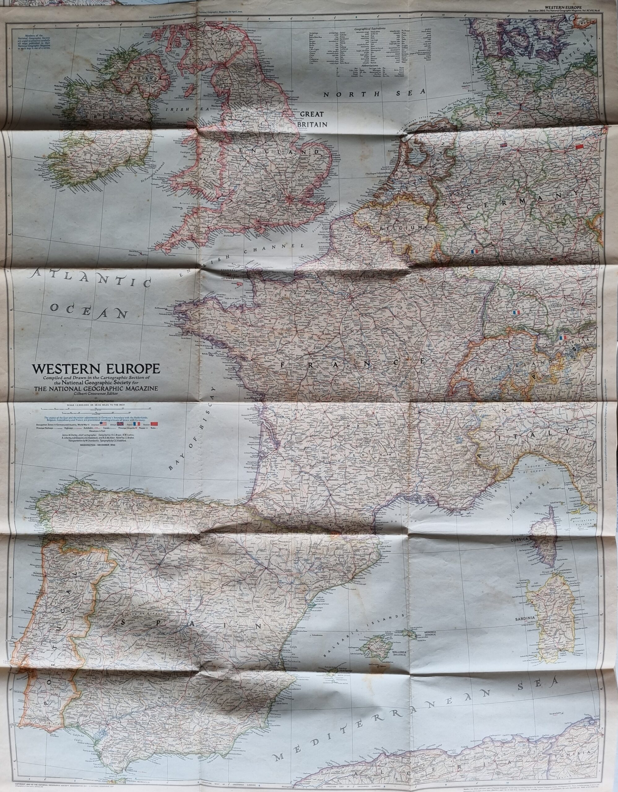
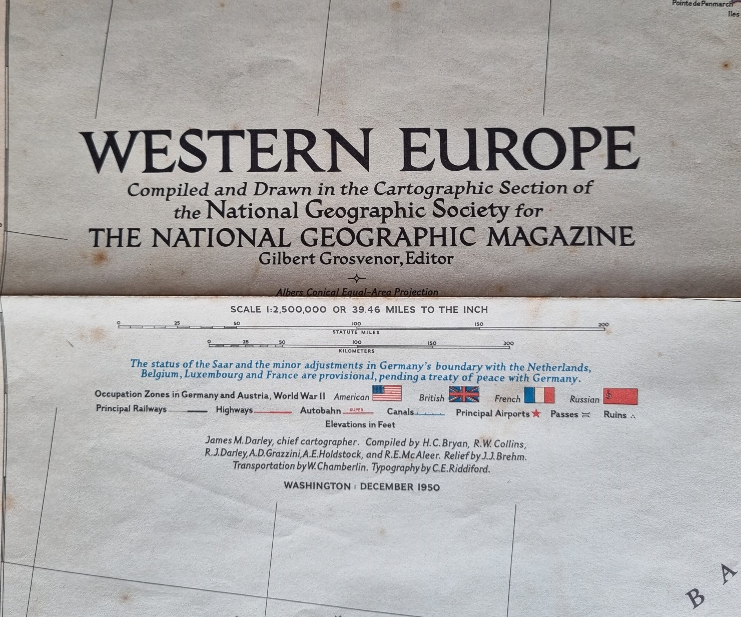
Published in December 1950, the Western Europe map is a snapshot of the region as it stood shortly after the end of the Second World War. The status of the Saar and the minor adjustments in Germany’s boundary with the Netherlands, Belgium, Luxembourg, and France are provisional at the time, pending a treaty of peace with Germany.
The map is in poor condition with minor fold tears and some light foxing but in fairly good condition given the map is over 70 years old.
$35.06
1 in stock
Published in December 1950, the Western Europe map is a snapshot of the region as it stood shortly after the end of the Second World War. The status of the Saar and the minor adjustments in Germany’s boundary with the Netherlands, Belgium, Luxembourg, and France are provisional at the time, pending a treaty of peace with Germany.
The map is in poor condition with minor fold tears and some light foxing but in fairly good condition given the map is over 70 years old.
Additional information
| Weight | 250 g |
|---|---|
| Dimensions | 93 × .50 × 74 cm |
| Author | National Geographic Magazine |
|---|---|
| Publisher | National Geographic Magazine |
| Pages | 1 |
| Country | United States |
| Language | English |
| Dimension | 93cm x 74cm |
| Item Weight | 250gm |
| 3D Book URL | https://hungrytraveller.com.au/3d-flip-book/western-europe/ |