
Pwllheli and North Wales Illustrated Guide Book. “The use of a reliable guide book doubles the pleasure and interest of a holiday. These well-known books are not dull, dry-as-dust compilations. but pleasant travelling companions, readable from cover to cover.
Each volume contains the latest Maps and Plans and is lavishly illustrated. In all cases a much wider area is included than the title indicates, and it will be found that nearly every holiday and health resort of importance is described in one or more of the volumes.” (Source:1924 Ward Lock Red Guide promotional leaflet)
The earliest Ward Lock travel guides were published in 1880, the guides however adopted their familiar red cloth covers in 1892. By the end of the century, 72 guides had been published, covering different towns and areas in England & Wales, Scotland, Ireland, the Channel Islands and a number of Continental destinations.
According to the book Adventure in Publishing, The House Of Ward Lock, 1854 to 1954, by Edward Liveing, Ward and Lock “noted the public’s growing tendency to explore the British Isles. The ubiquity of the railway lines had played its part in the growth of the travel at holiday times and the increasingly popular “weekend”.
At Easter, Cornwall was the resort of the well-to-do; in August of working class folk. The Lake District was thronged with families in the summer who climbed its fells without any of the fears that prevented their ancestors from doing so a century earlier. Women took to walking after the passing of crinolines. Also, like their men-folk, they had taken to bicycling when the two low-wheel of machine supplanted the perilous “penny-farthing”.
” Gradually a great series was worked up until, as today, every holiday district and seaside resort of consequence was covered by its own particular Guide. A special staff of qualified editors and correspondents continually toured the land, compiling and revising material on all places and matters of interest to the holidaymaker and on such subjects as the local history, geology, botany and zoology of the areas concerned.” (https://wlrg.z33.web.core.windows.net/page/aboutRG.html)
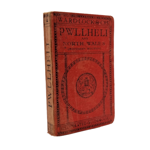
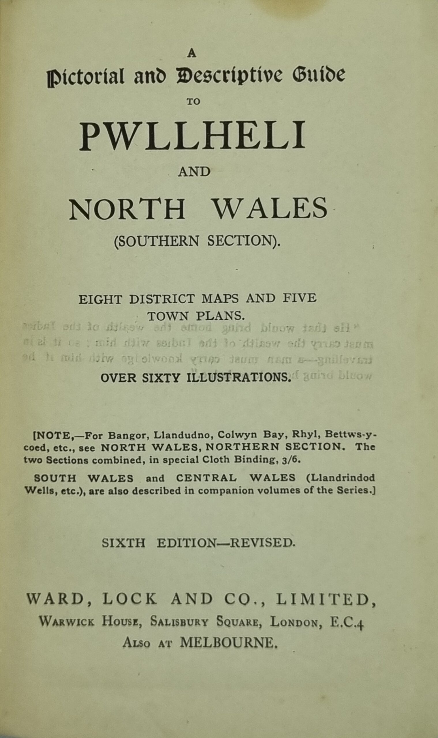
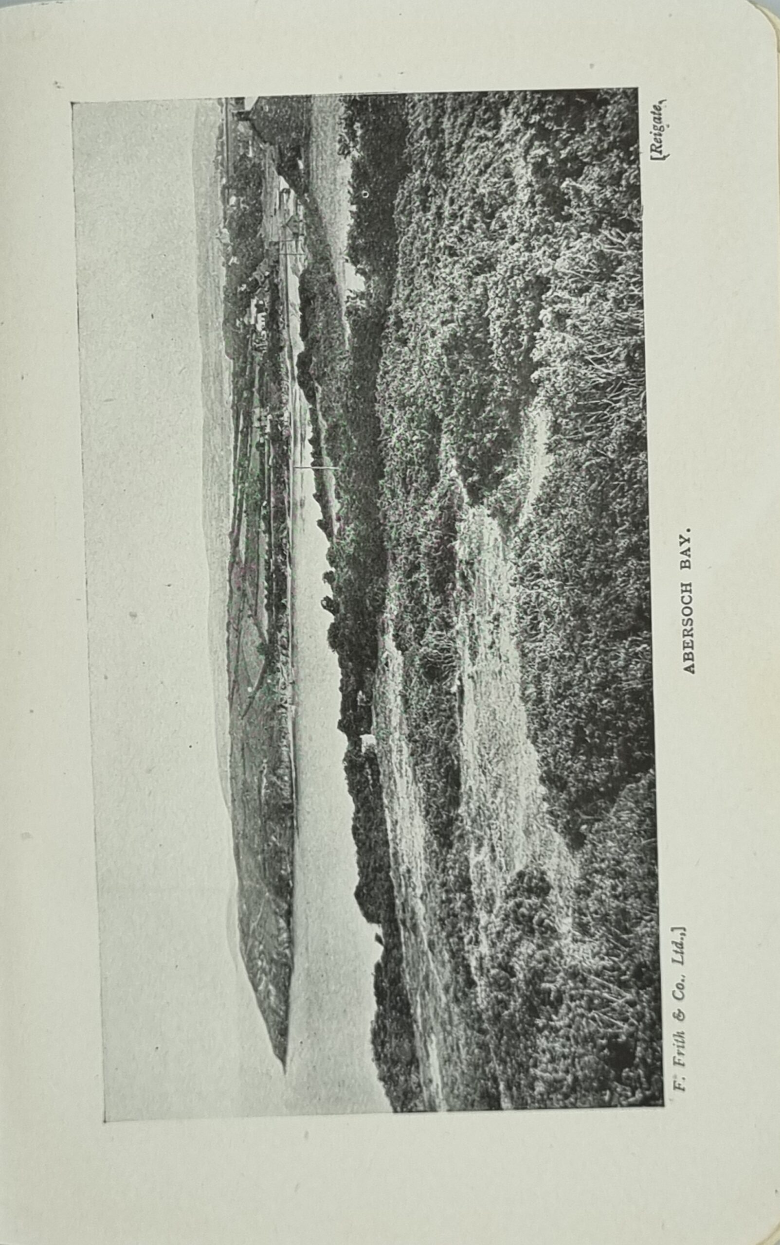
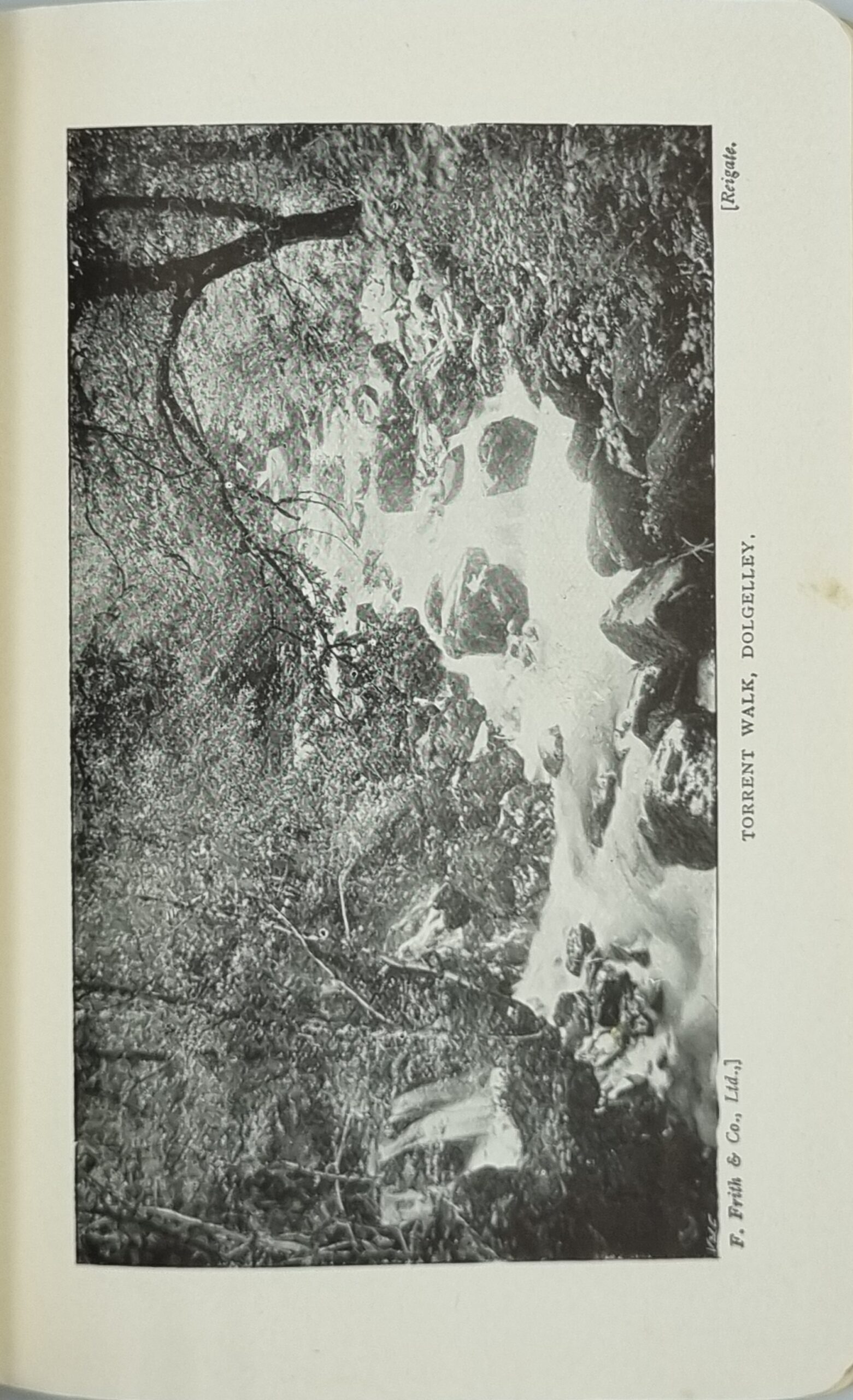
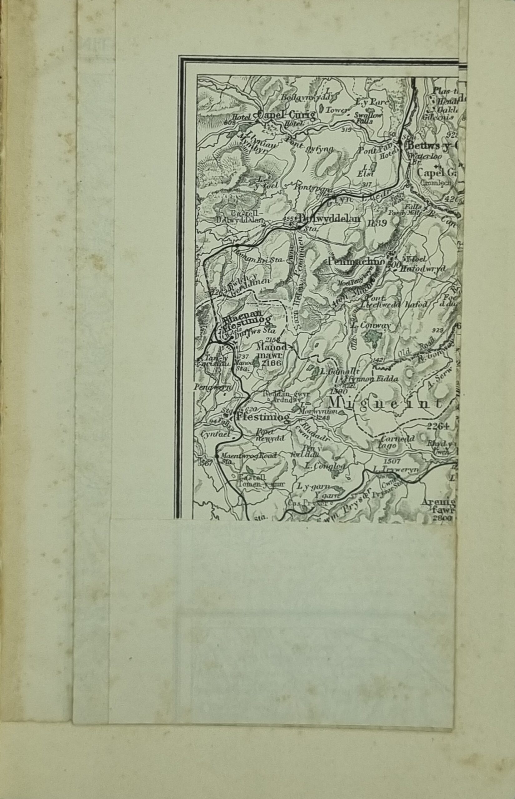
This book is in good condition with eight district maps and five town plans and over sixty illustrations. This sixth edition printed in 1923 has a very little foxing with covers that are that are slightly worn. https://hungrytraveller.com.au/3d-flip-book/pwllheli/
Additional information
| Weight | 309 g |
|---|---|
| Dimensions | 11.5 × 2 × 17 cm |
| Author | Various |
|---|---|
| Publisher | Ward, Lock & Co |
| Published On | 1923 |
| Pages | 80 |
| Country | London: United Kingdom |
| Language | English |
| Dimension | 11.5cm x 17cm |
| Item Weight | 309gm |
| Edition | Sixth |
| 3D Book URL | https://hungrytraveller.com.au/3d-flip-book/pwllheli/ |