
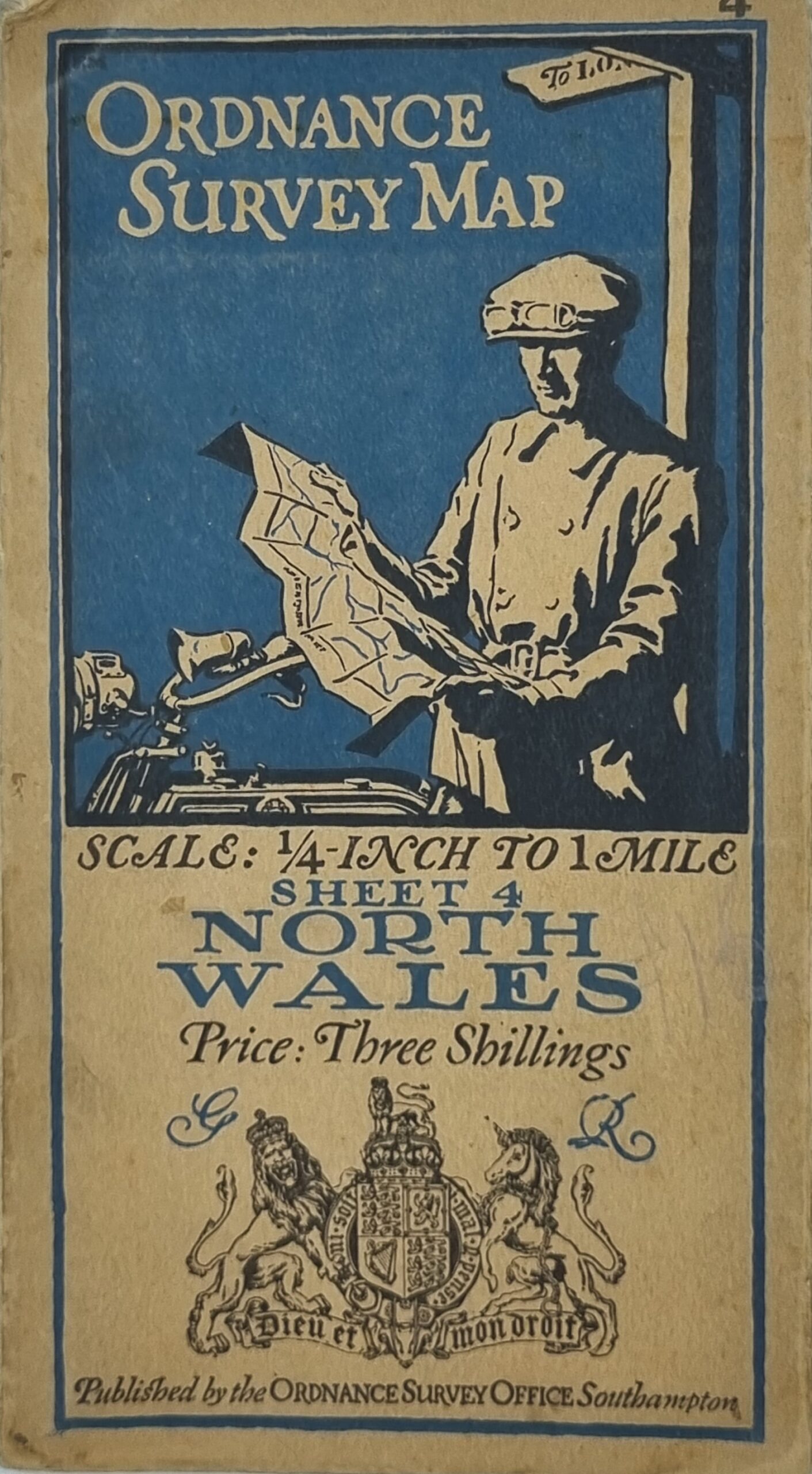
Ordinance Survey Map – North Wales – Sheet 4. The origins of the Ordnance Survey lie in the aftermath of the Jacobite rising of 1745. Prince William, Duke of Cumberland realised that the British Army did not have a good map of the Scottish Highlands to locate Jacobite dissenters such as Simon Fraser, 11th Lord Lovat so that they could be put on trial.
In 1747, Lieutenant-Colonel David Watson proposed the compilation of a map of the Highlands to help to subjugate the clans. In response, King George II charged Watson with making a military survey of the Highlands under the command of the Duke of Cumberland. Among Watson’s assistants were William Roy, Paul Sandby and John Manson.
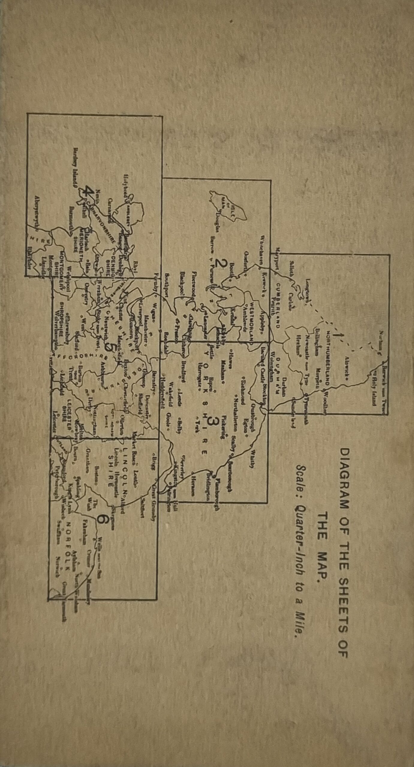
The survey was produced at a scale of 1 inch to 1000 yards (1:36,000) and included “the Duke of Cumberland’s Map” (primarily by Watson and Roy), now held in the British Library. From the late 19th century to the early 1940s, the OS produced many “restricted” versions of the County Series maps and other War Department sheets for War Office purposes, in a variety of large scales that included details of military significance such as dockyards, naval installations, fortifications and military camps. Apart from a brief period during the disarmament talks of the 1930s, these areas were left blank or incomplete on standard maps. The War Department 1:2500s, unlike the standard issue, were contoured. (https://en.wikipedia.org/wiki/Ordnance_Survey)
This 1920s Ordnance Survey Map is in good condition with some discolouration where the map is folded along with a small stain on the edge. The coloured map is bright with no obvious tears or foxing. https://hungrytraveller.com.au/product/ordinance-survey-map-midlands-n/
Additional information
| Weight | 58 g |
|---|---|
| Dimensions | 68 × 1 × 76.5 cm |