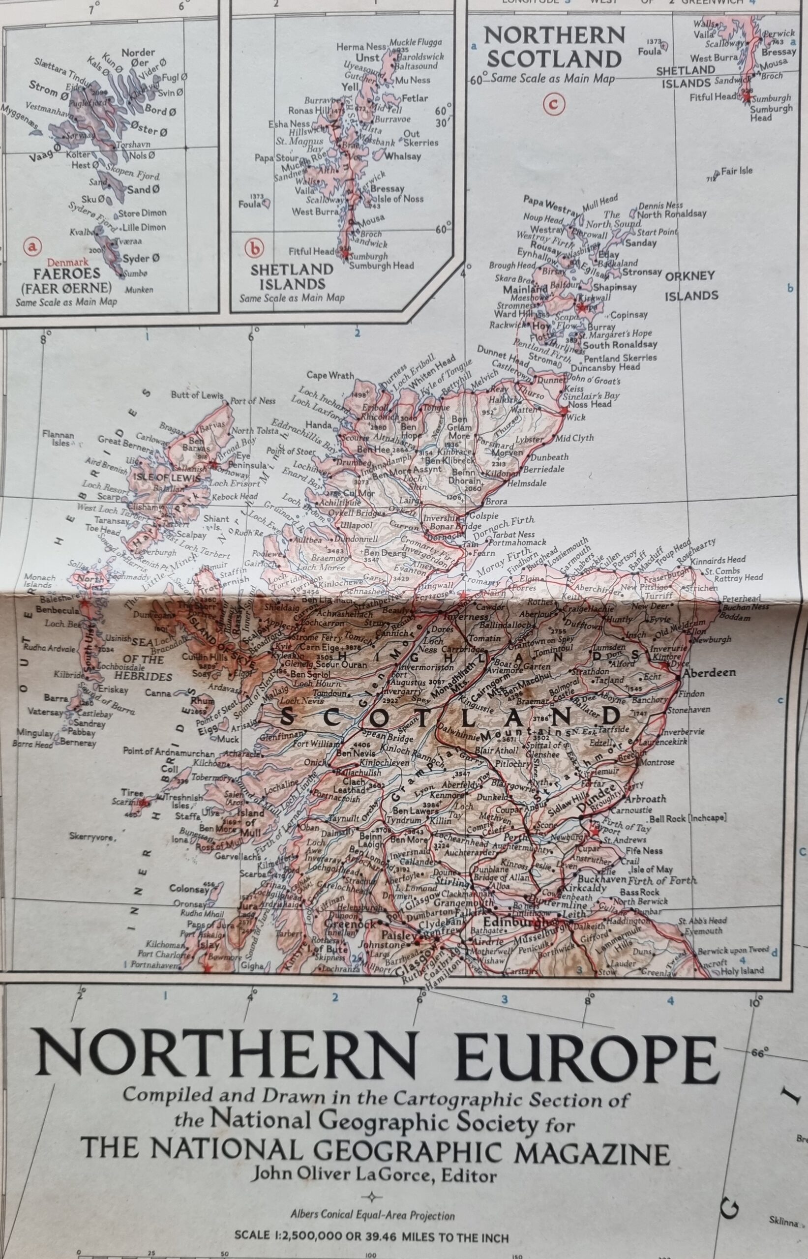
Northern Europe Map – National Geographic Magazine
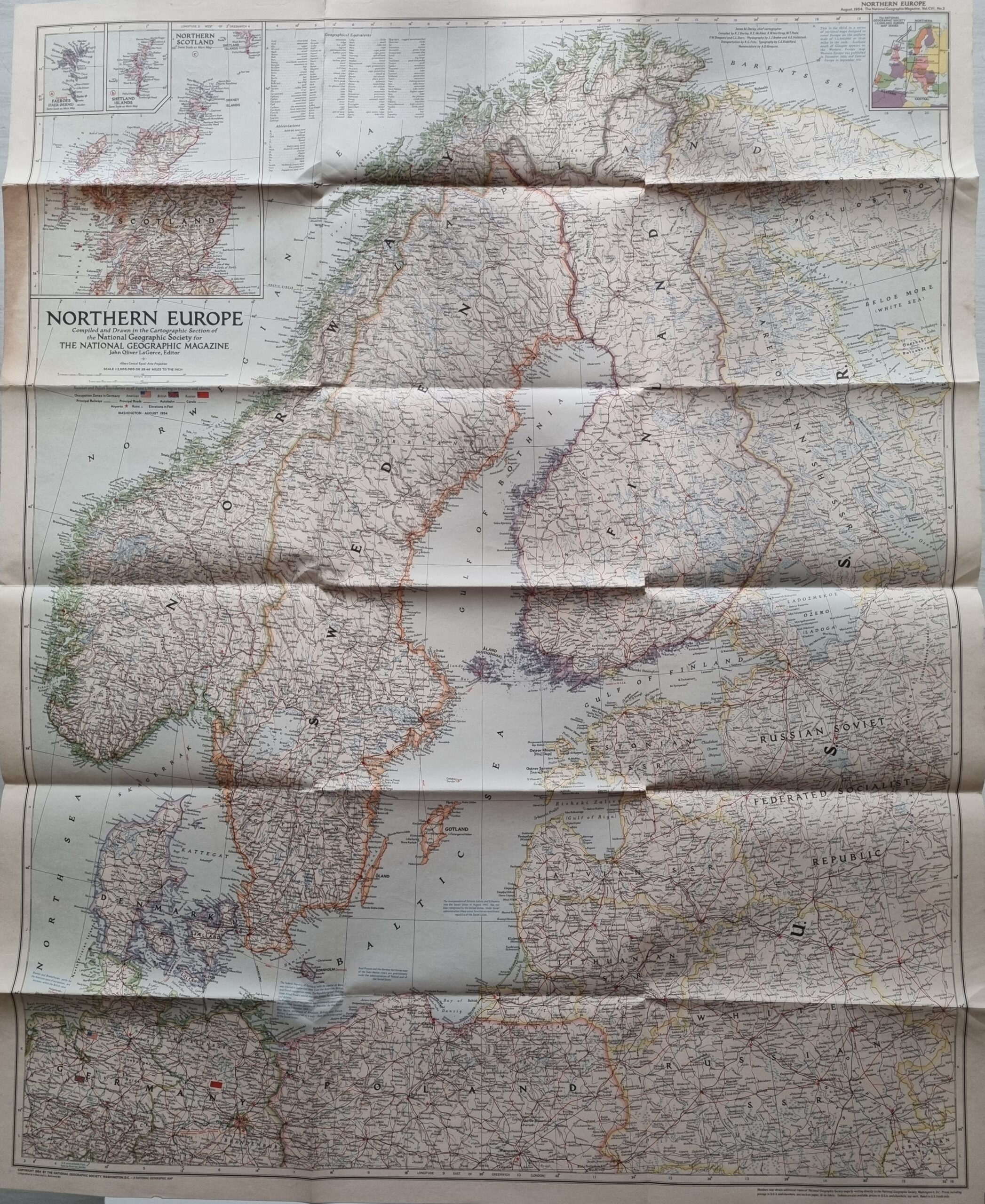
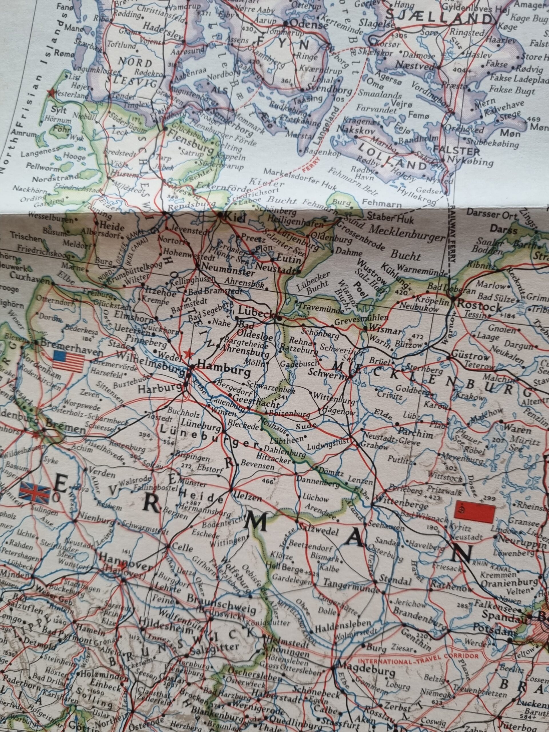
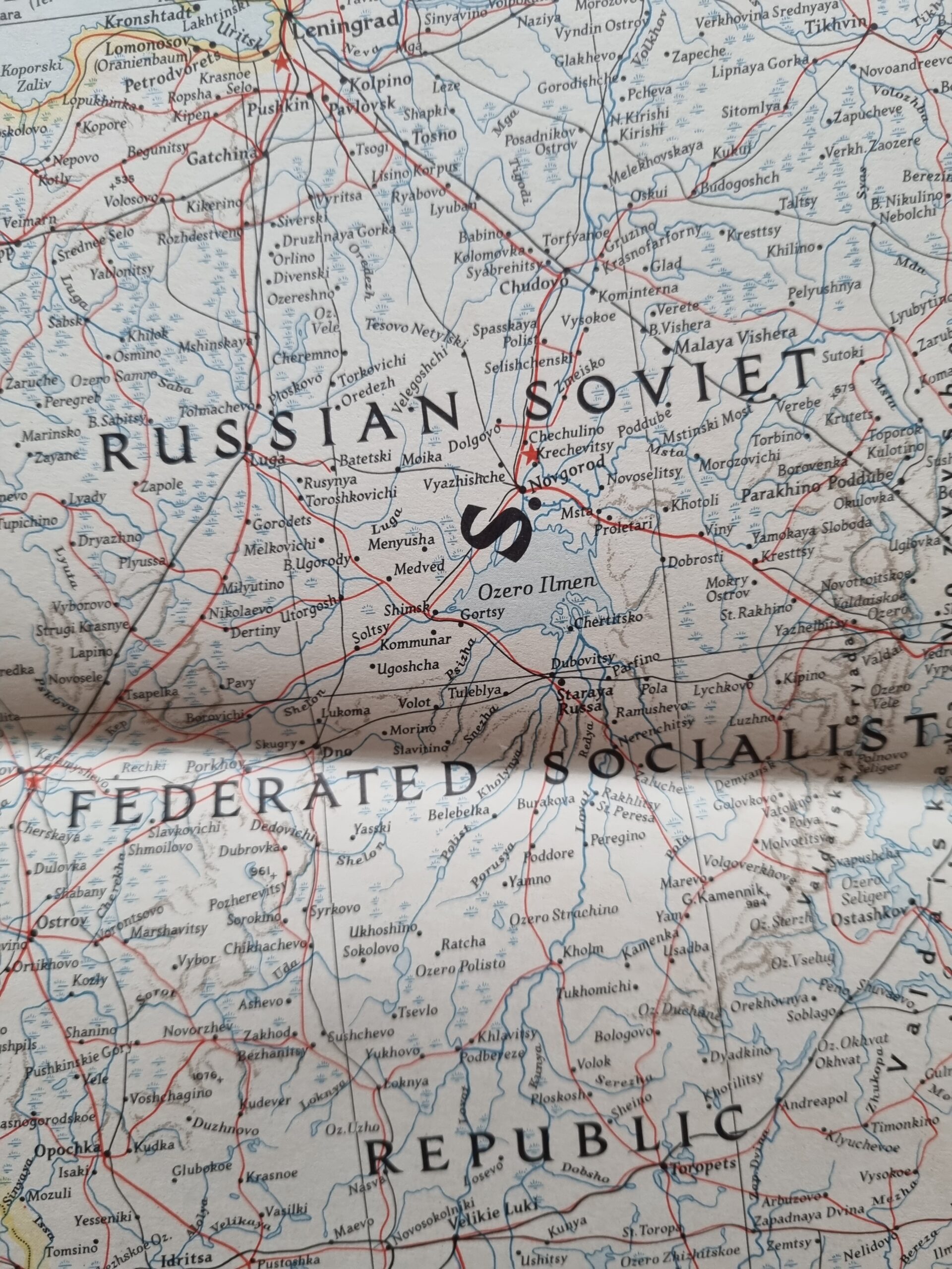
This Northern Europe Map published in 1954 by the National Geographic Magazine has some tears along the folds with minor foxing but in a fair condition based on its age. In context to the time of publishing it is interesting to note the division of Germany and the naming of the Soviet Union place names such as Leningrad (St Petersburg).
$45.00
1 in stock
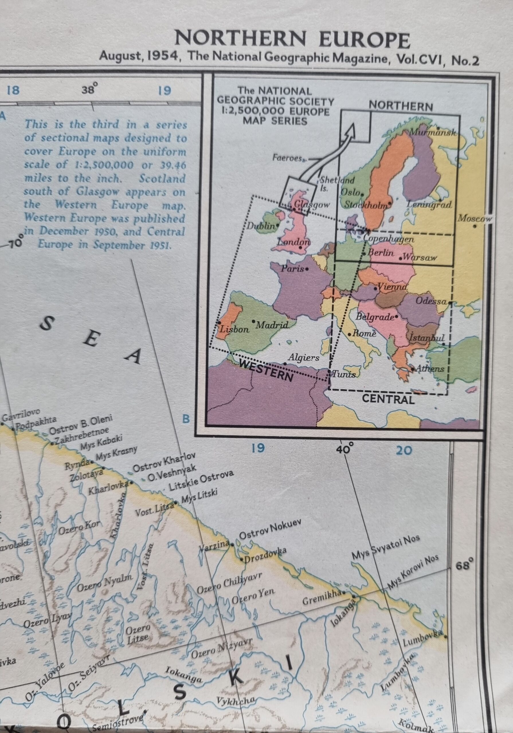
“Northern Europe, long a key corner of the world, today stands divided by frontiers of the Cold War, from Finland’s eastern border down into Germany. On the east stand an expanded Russia, puppet Poland, and red-dominated eastern Germany. On the west, Free Europe rebuilds its industrial strength and bolsters its defenses.” This map was published in August 1954, accompanying the article “Stop-and-Go Sail Around South Norway.”
This Northern Europe Map published in 1954 by the National Geographic Magazine has some tears along the folds with minor foxing but in a fair condition based on its age. In context to the time of publishing it is interesting to note the division of Germany and the naming of the Soviet Union place names such as Leningrad (St Petersburg).
Additional information
| Weight | 250 g |
|---|---|
| Dimensions | 74 × .50 × 90 cm |
| Author | National Geographic Magazine |
|---|---|
| Publisher | National Geographic Magazine |
| Pages | 1 |
| Country | United States |
| Language | English |
| Dimension | 74cm x 90cm |
| Item Weight | 250gms |
| 3D Book URL | https://hungrytraveller.com.au/3d-flip-book/northern-europe-map/ |

