
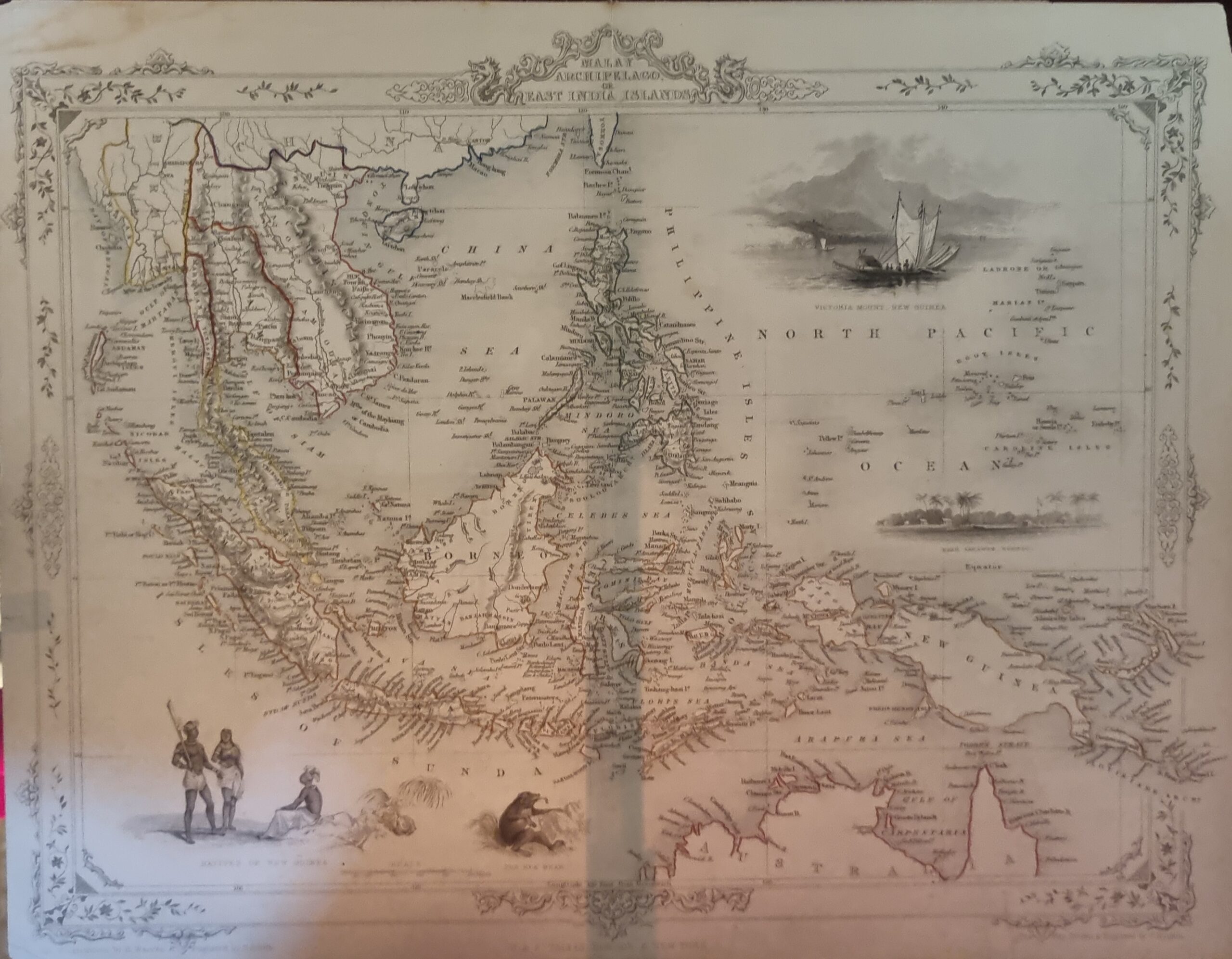
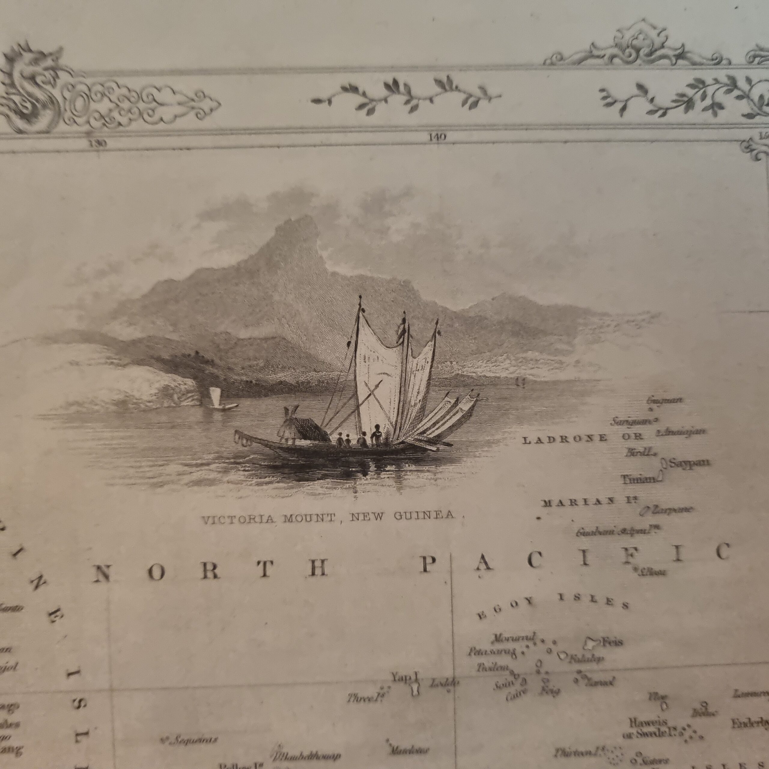
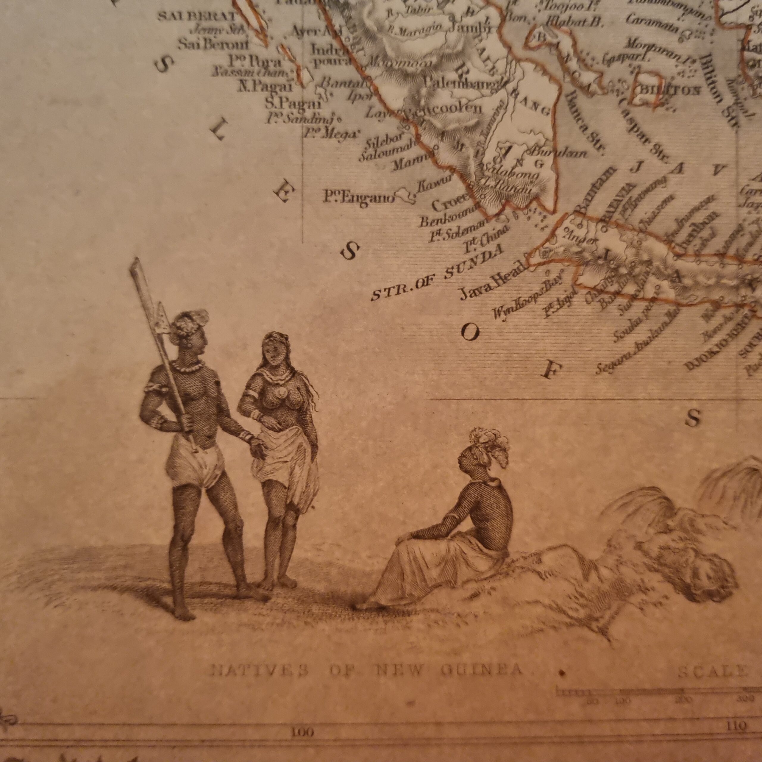
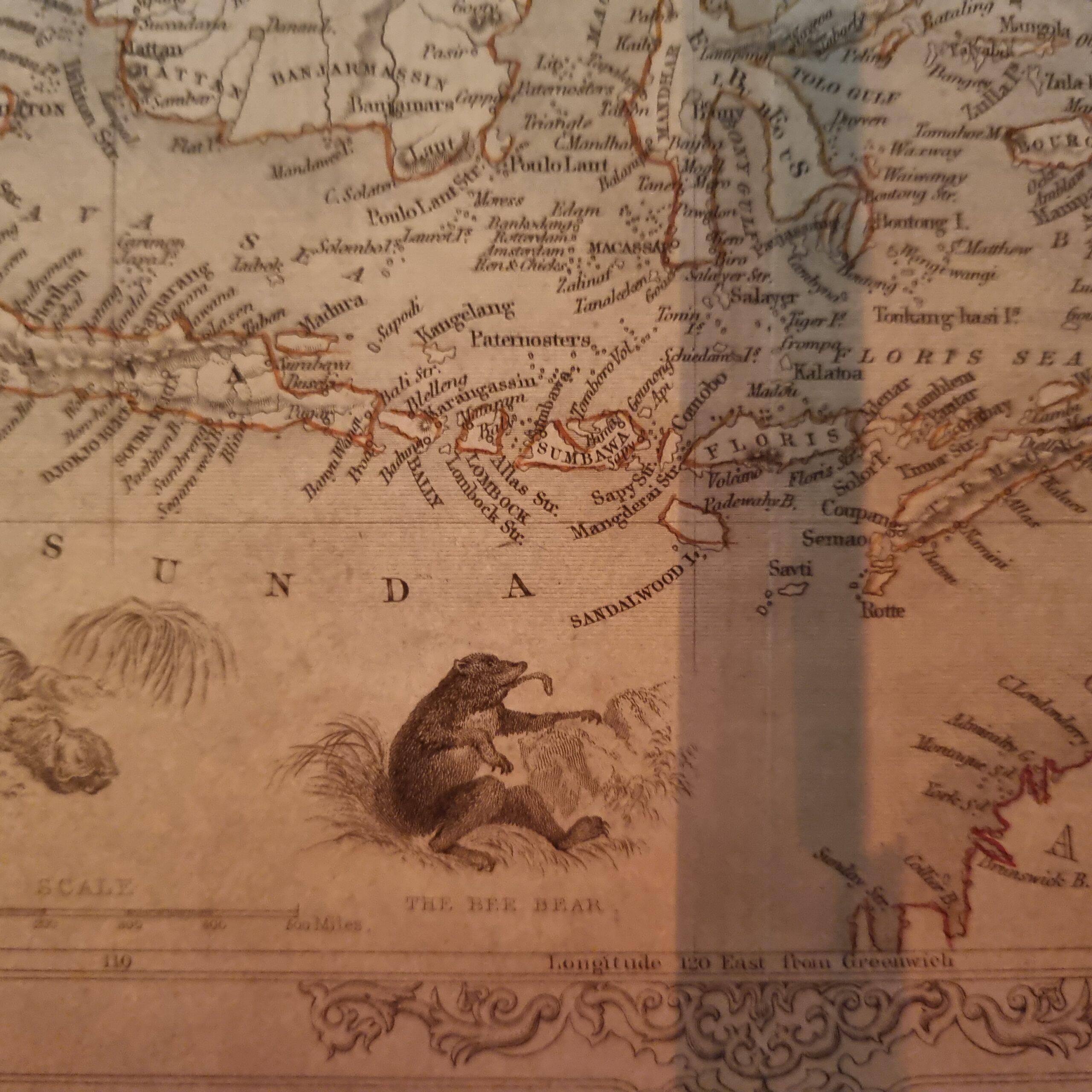
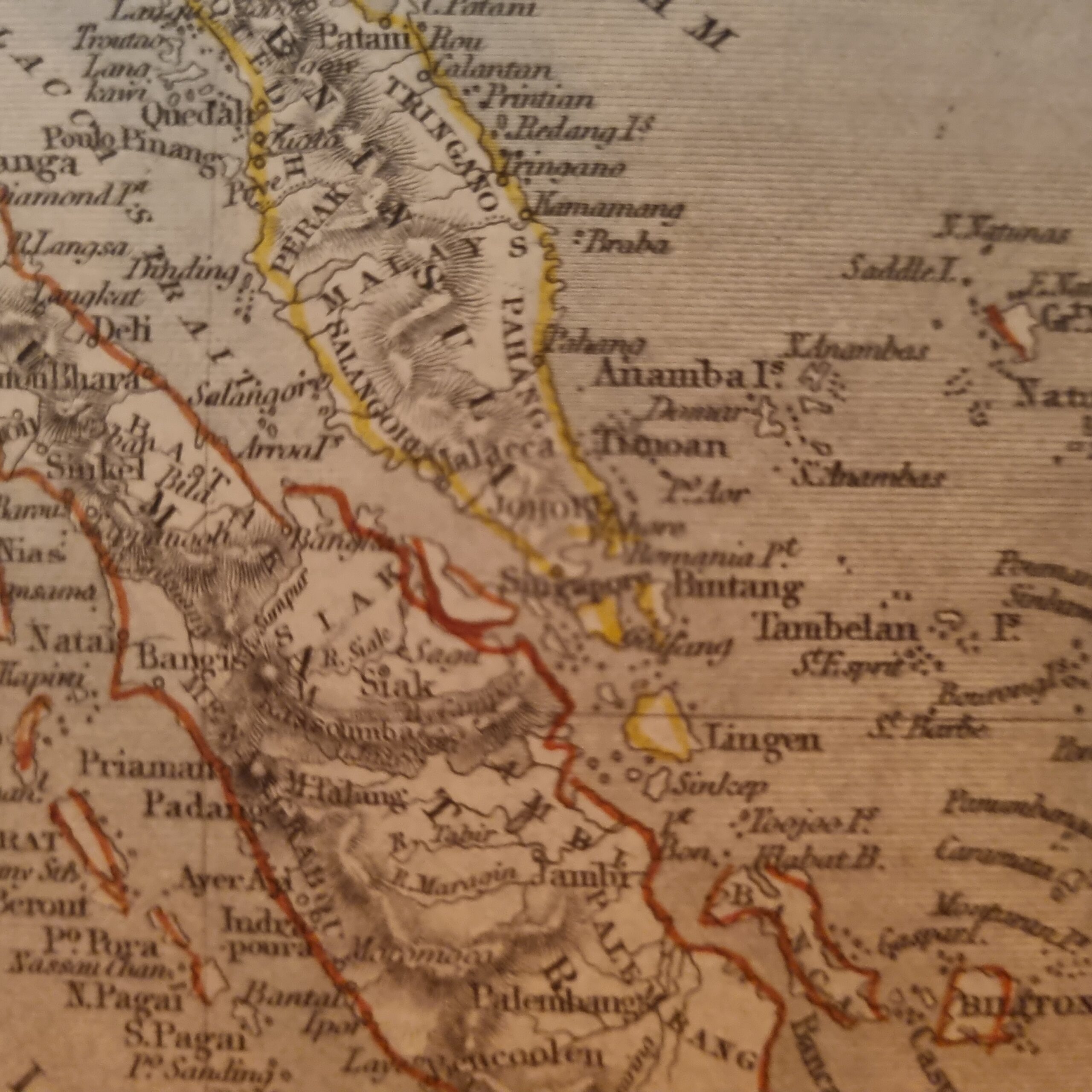
Malay Archipelago, or East India Islands, antique map with vignette views (1854)
Attractive decorative border around edge, period outline color, slight loss to one corner, mark on another corner, 1/2″ closed tear archivally repaired lower right margin. Map. Very good overall.
$142.02
Out of stock
Rapkin. Tallis, John. London: John Tallis & Co., 1854. Map of Southeast Asia. Steel engraved map from the famous Victorian publisher John Tallis, well-known for the attractive vignette views surrounding the maps, which illustrate the peoples & customs of that region.
Additional information
| Weight | 100 g |
|---|---|
| Dimensions | 36 × 27.7 cm |
| Publisher | John Tallis & Co |
|---|---|
| Published On | 1854 |
| Country | London: United Kingdom |
| Language | English |
| Dimension | 36cm x 27.5cm |
| Item Weight | 100gm |