The Imperial Guide to India, Including Kashmir, Burma and Ceylon, With Illustrations, Maps and Plans was published by John Murray in 1904 as a comprehensive reference and travel guide for British India and adjacent regions. This extensive work provides detailed descriptions of geography, history, culture, administration, and infrastructure across India, Kashmir, Burma (now Myanmar), and Ceylon (now Sri Lanka).
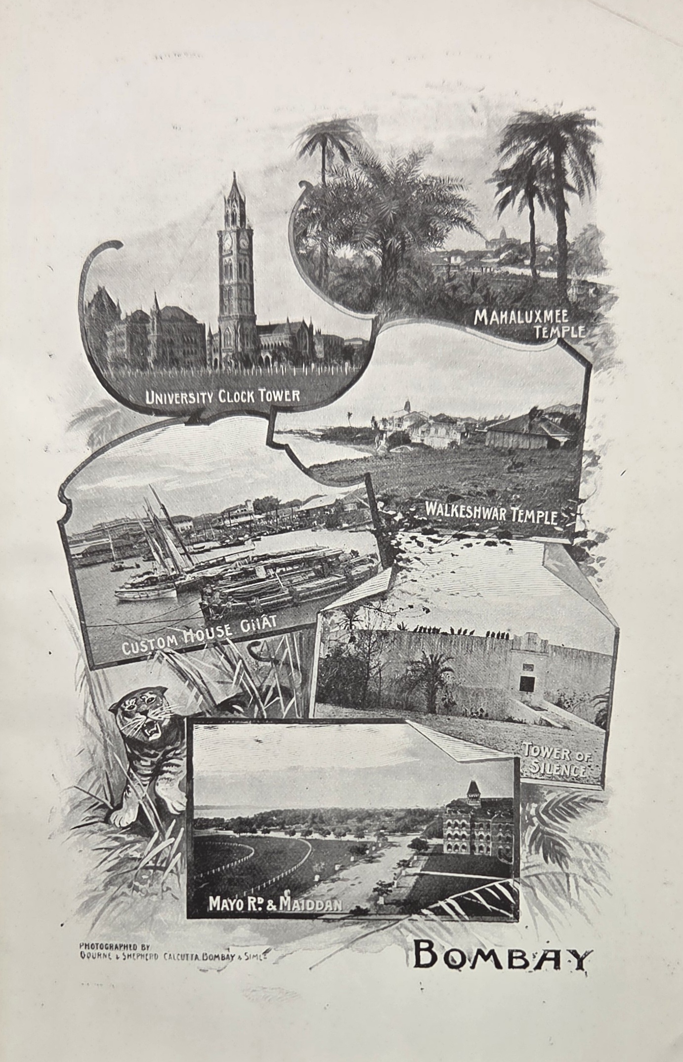
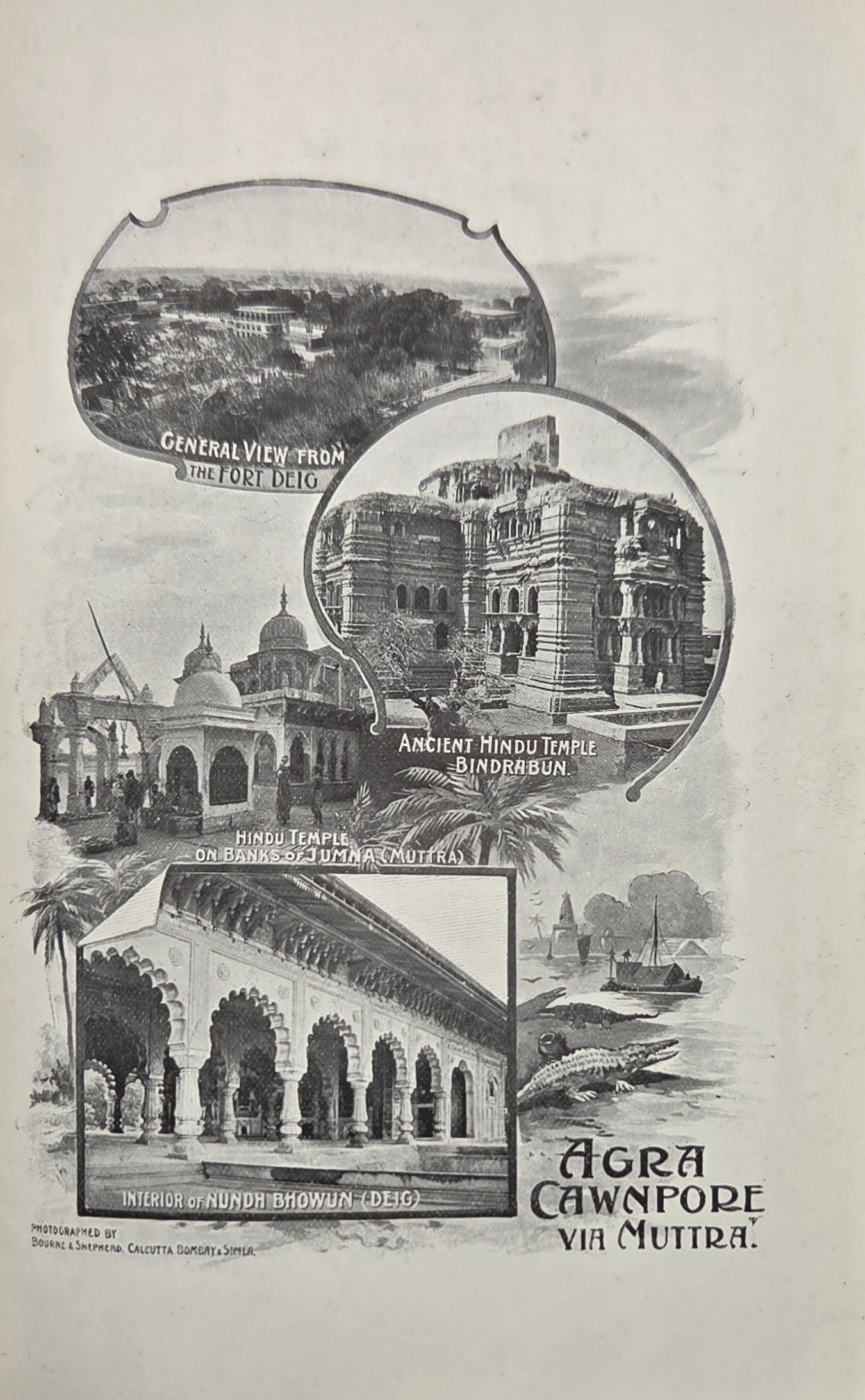
The guide is richly illustrated with maps, plans, and plates, helping readers navigate cities, landscapes, and major sites of historical and cultural importance. It covers political organization under British rule, major trade routes, local industries, religious practices, and the architecture and monuments of key regions. Intended for both travellers and officials, it combines practical information with historical and cultural commentary, reflecting contemporary British perspectives on colonial governance and society.
Today, the 1904 edition is valued as a historical document, offering insights into the British Empire’s presentation of India and surrounding territories, as well as a snapshot of infrastructure, society, and colonial administration in the early twentieth century.
Additional information
| Weight | 360 g |
|---|---|
| Dimensions | 12.5 × 18.5 cm |
| Publisher | John Murray |
|---|---|
| Published On | 1904 |
| Pages | 244 |
| Country | London: United Kingdom |
| Language | English |
| Dimension | 12.5cm x 18.5cm |
| Item Weight | 360gm |
| Edition | First Edition |