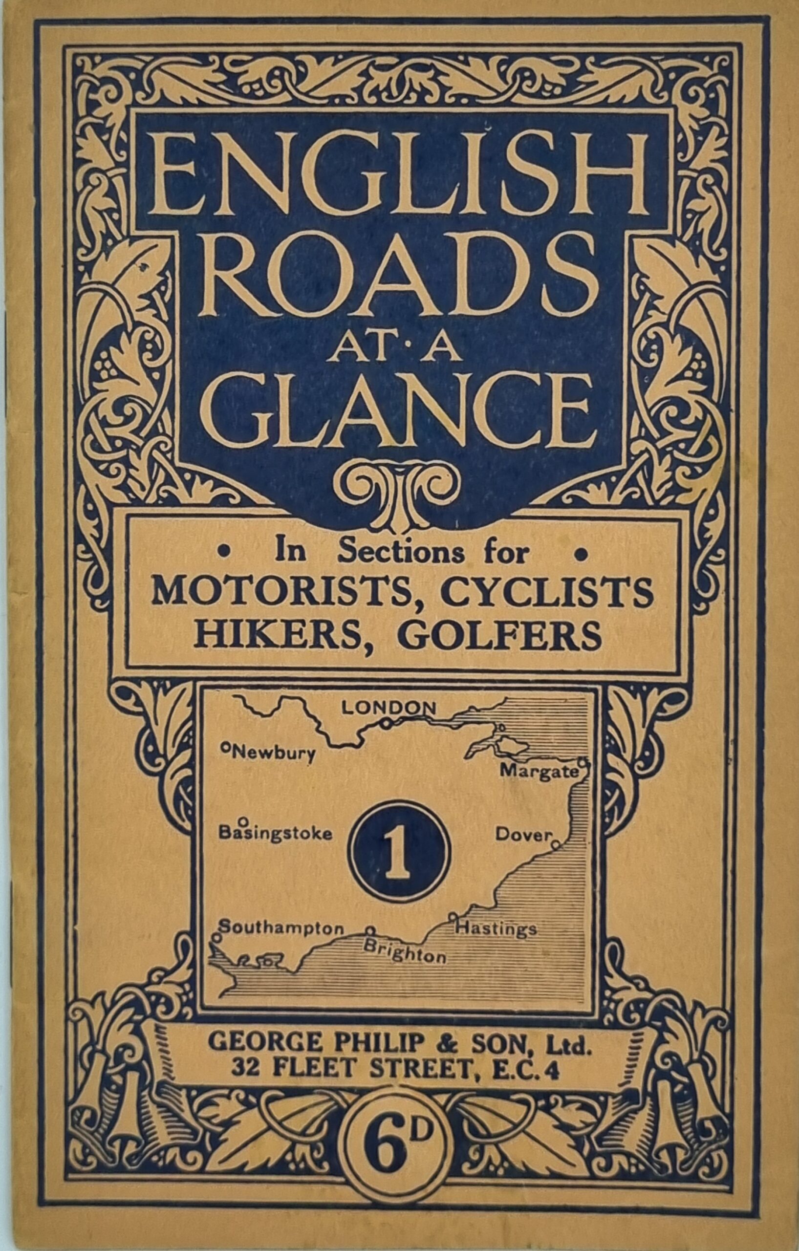
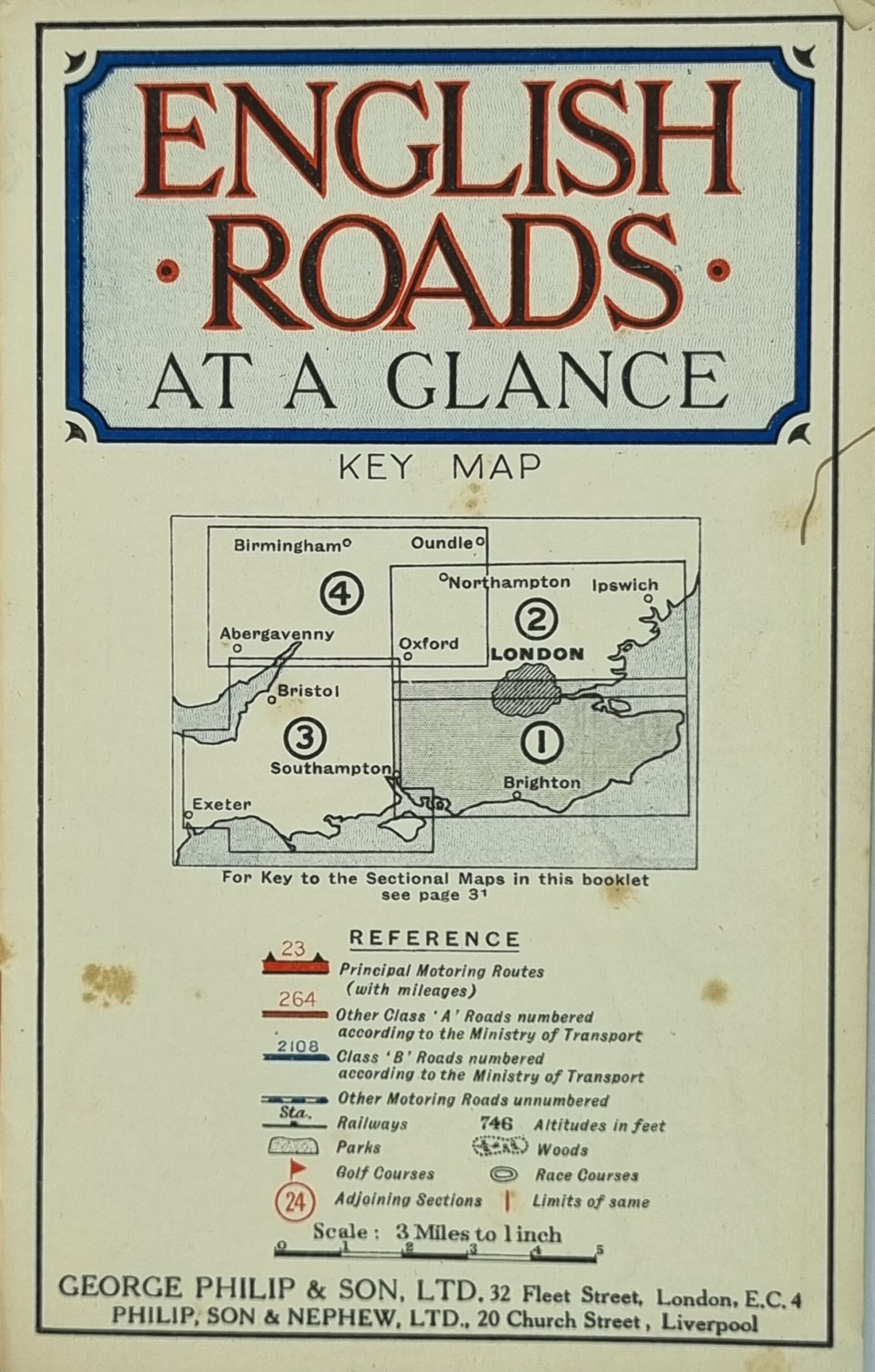
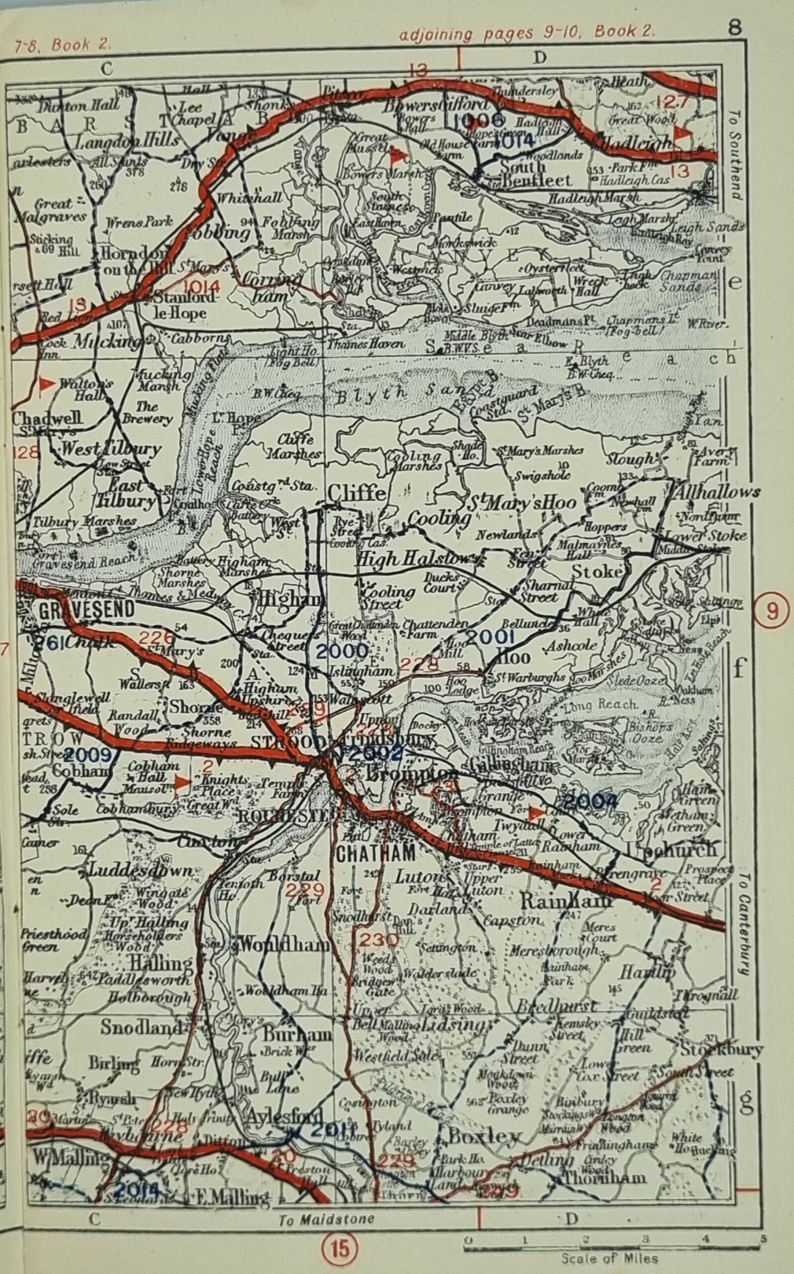
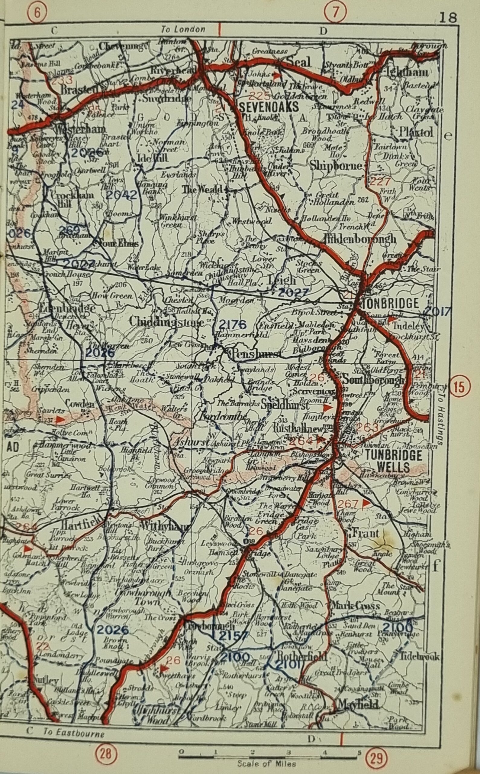
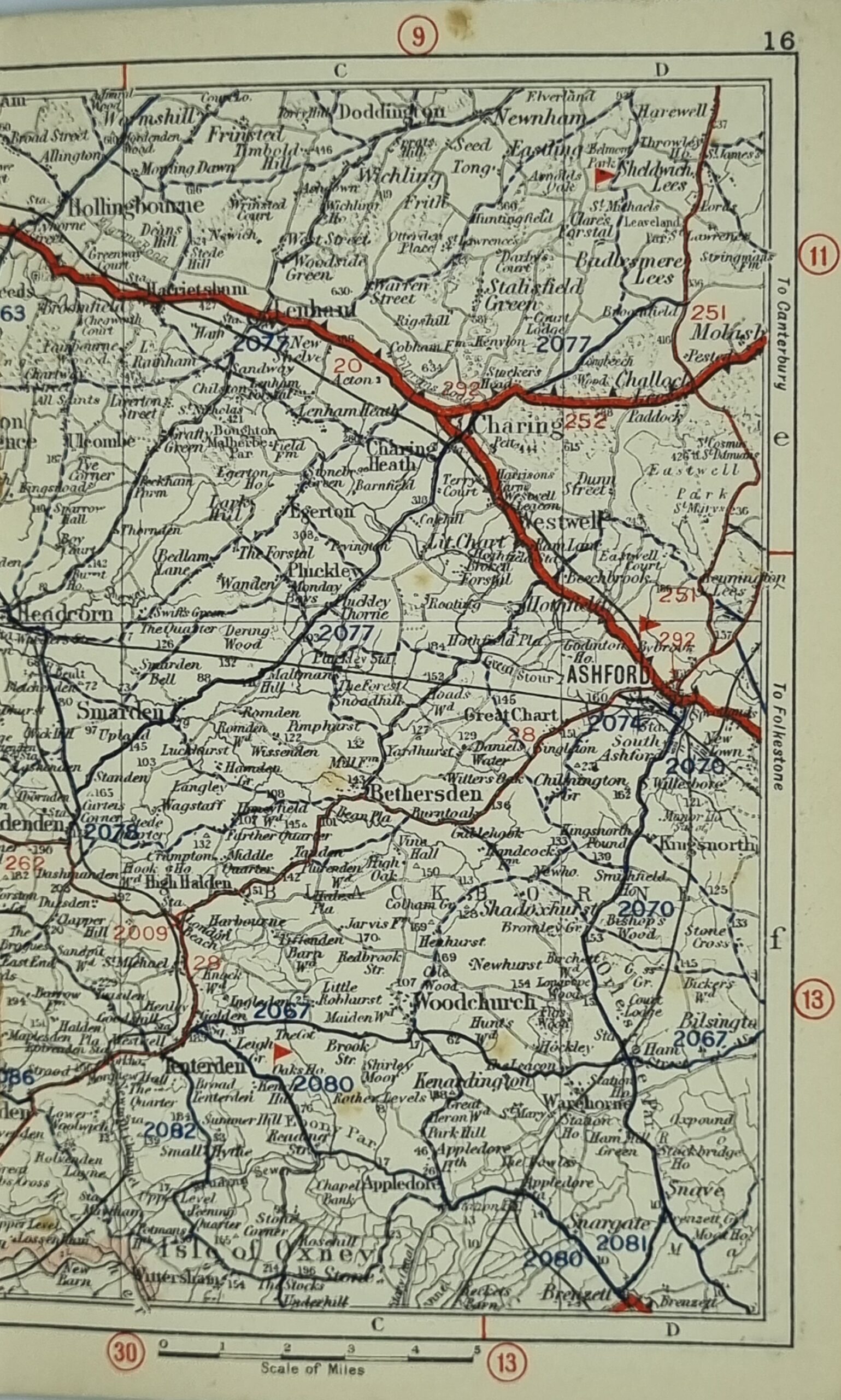
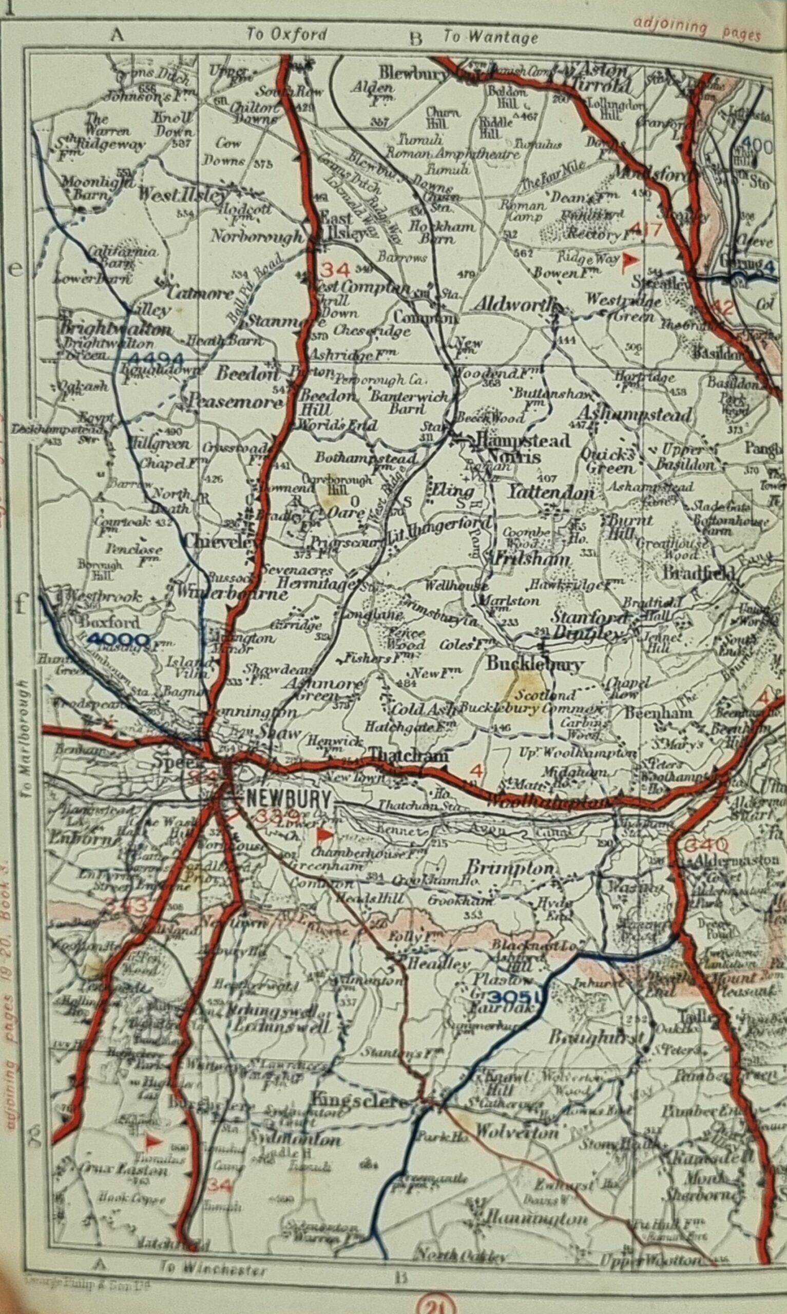
English Roads at a Glance : In sections for Motorists, Cyclists, Hikers, Golfers, was published by George Philip (1800–1882) who was a cartographer, map publisher and founder of the publishing house George Philip & Son Ltd. During the early 1840s George Philip opened and ran a bookseller's and stationer's shop in South Castle Street, Liverpool, and it was during this period he laid the foundations for building and expanding his publishing empire from which he would eventually amass a substantial fortune.
Philip used cartographers such as John Bartholomew the elder, August Petermann, and William Hughes to produce maps on copper plates. Philip then had these printed and hand-coloured by his women tinters. By the time he produced his county maps of 1862 he was using machine-coloured maps produced on power-driven lithographic presses.
'His maps ranged from the expensive Imperial Library Atlas (1864) to an atlas costing as little as 3d. and, although the bulk of his production was for the commercial, and particularly the educational market, he also produced important scientific maps. George Philip & Son Ltd operated independently for over 140 years until the company was sold in 1987 to Reed International where it continued to trade as George Philip Ltd. In 1998, following a management buy-out of the Illustrated books division, Philip's became part of the Octopus Publishing Group. Hachette Livre acquired the group in 2001. (https://en.wikipedia.org/wiki/George_Philip_(cartographer)).
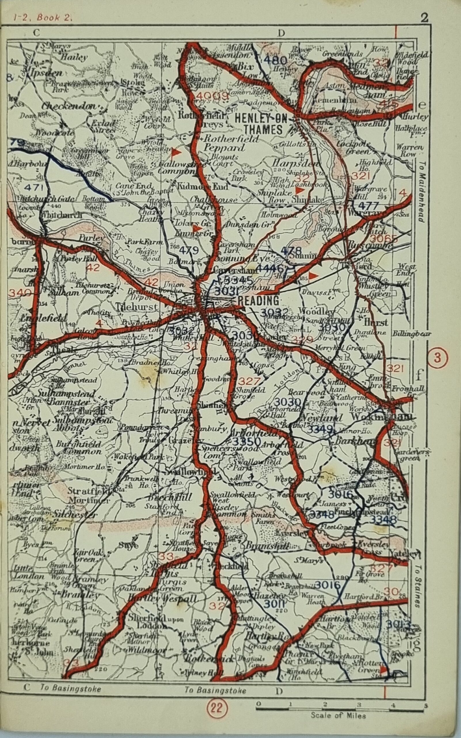
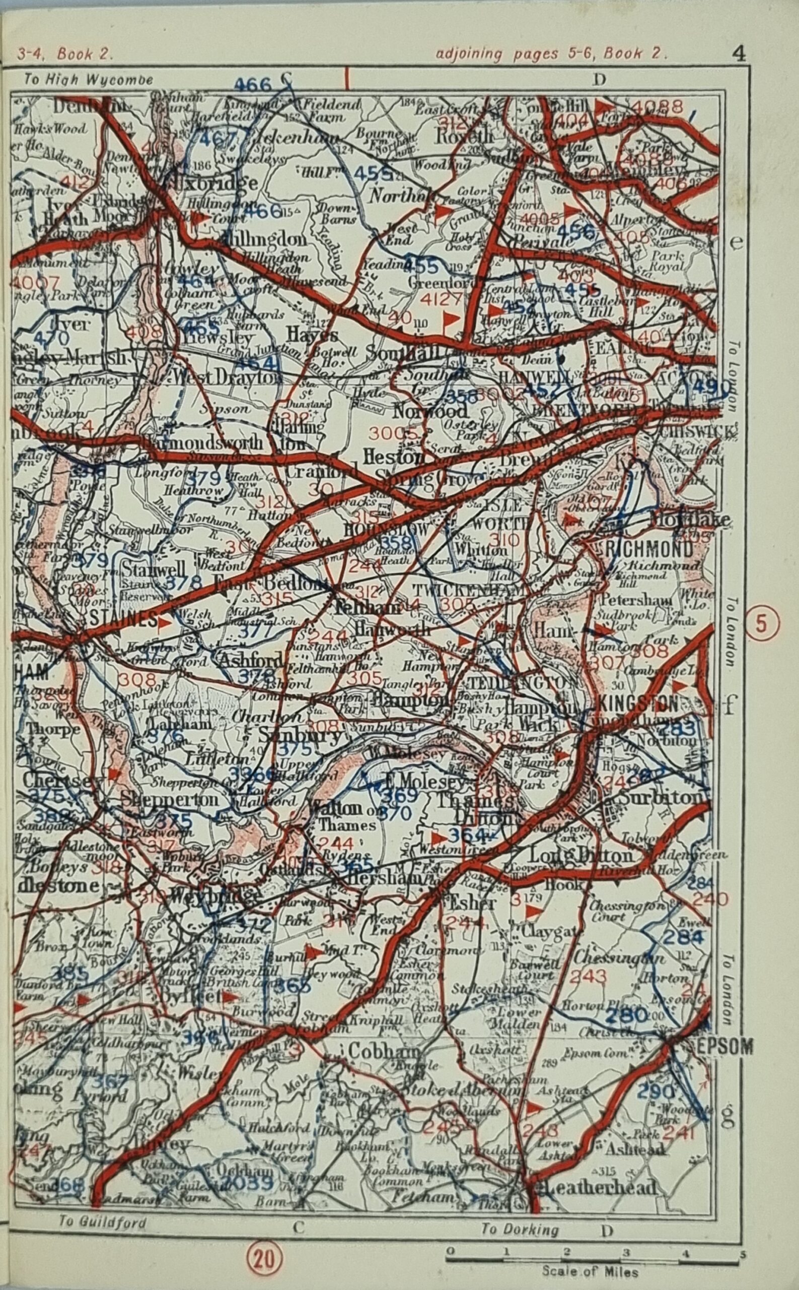
This circa 1930's booklet is in very good condition with maps stretching from Margate in the east to Southhampton in the west, London in the north to Brighton in the south. Some minor scuffing on the back cover.
Additional information
| Weight | 50 g |
|---|---|
| Dimensions | 11.5 × 0.5 × 18.5 cm |


