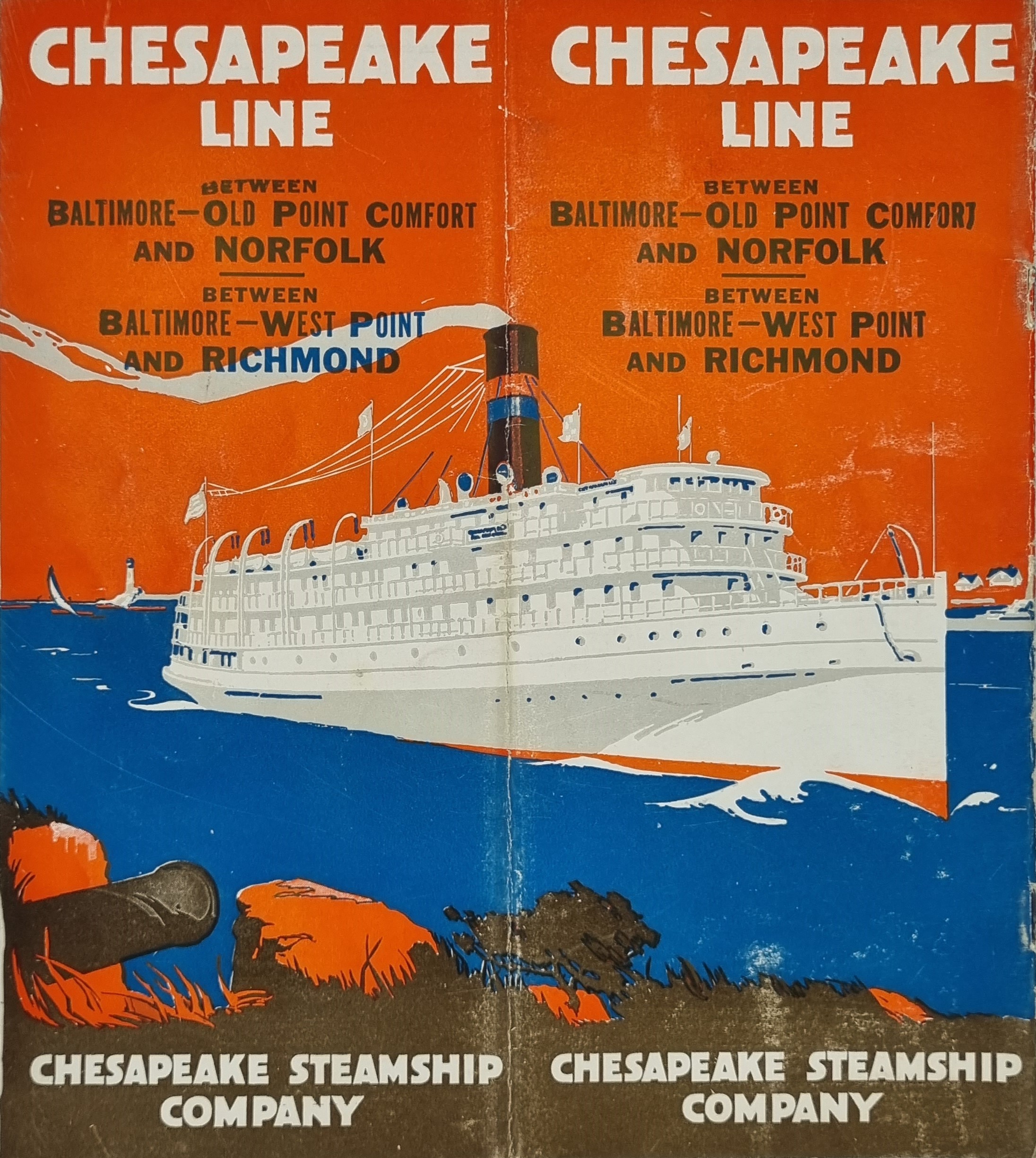

The Chesapeake Bay is the largest estuary in the United States. The Bay is located in the Mid-Atlantic region and is primarily separated from the Atlantic Ocean by the Delmarva Peninsula, including parts of the Eastern Shore of Maryland, the Eastern Shore of Virginia, and the state of Delaware. The mouth of the Bay at its southern point is located between Cape Henry and Cape Charles. With its northern portion in Maryland and the southern part in Virginia, the Chesapeake Bay is a very important feature for the ecology and economy of those two states, as well as others surrounding within its watershed. More than 150 major rivers and streams flow into the Bay's 64,299-square-mile (166,534 km2) drainage basin, which covers parts of six states, New York, Pennsylvania, Delaware, Maryland, Virginia, and West Virginia, and all of Washington, D.C.
The Bay is approximately 200 miles (320 km) long from its northern headwaters in the Susquehanna River to its outlet in the Atlantic Ocean. It is 2.8 miles (4.5 km) wide at its narrowest (between Kent County's Plum Point near Newtown in the east and the Harford County western shore near Romney Creek) and 30 miles (48 km) at its widest (just south of the mouth of the Potomac River which divides Maryland from Virginia). Total shoreline including tributaries is 11,684 miles (18,804 km), circumnavigating a surface area of 4,479 square miles (11,601 km2). Average depth is 21 feet (6.4 m), reaching a maximum of 174 feet (53 m). The Bay is spanned twice, in Maryland by the Chesapeake Bay Bridge from Sandy Point (near Annapolis) to Kent Island and in Virginia by the Chesapeake Bay Bridge–Tunnel connecting Virginia Beach to Cape Charles.
Additional information
| Weight | 46 g |
|---|---|
| Dimensions | 20.5 × .05 × 23 cm |