
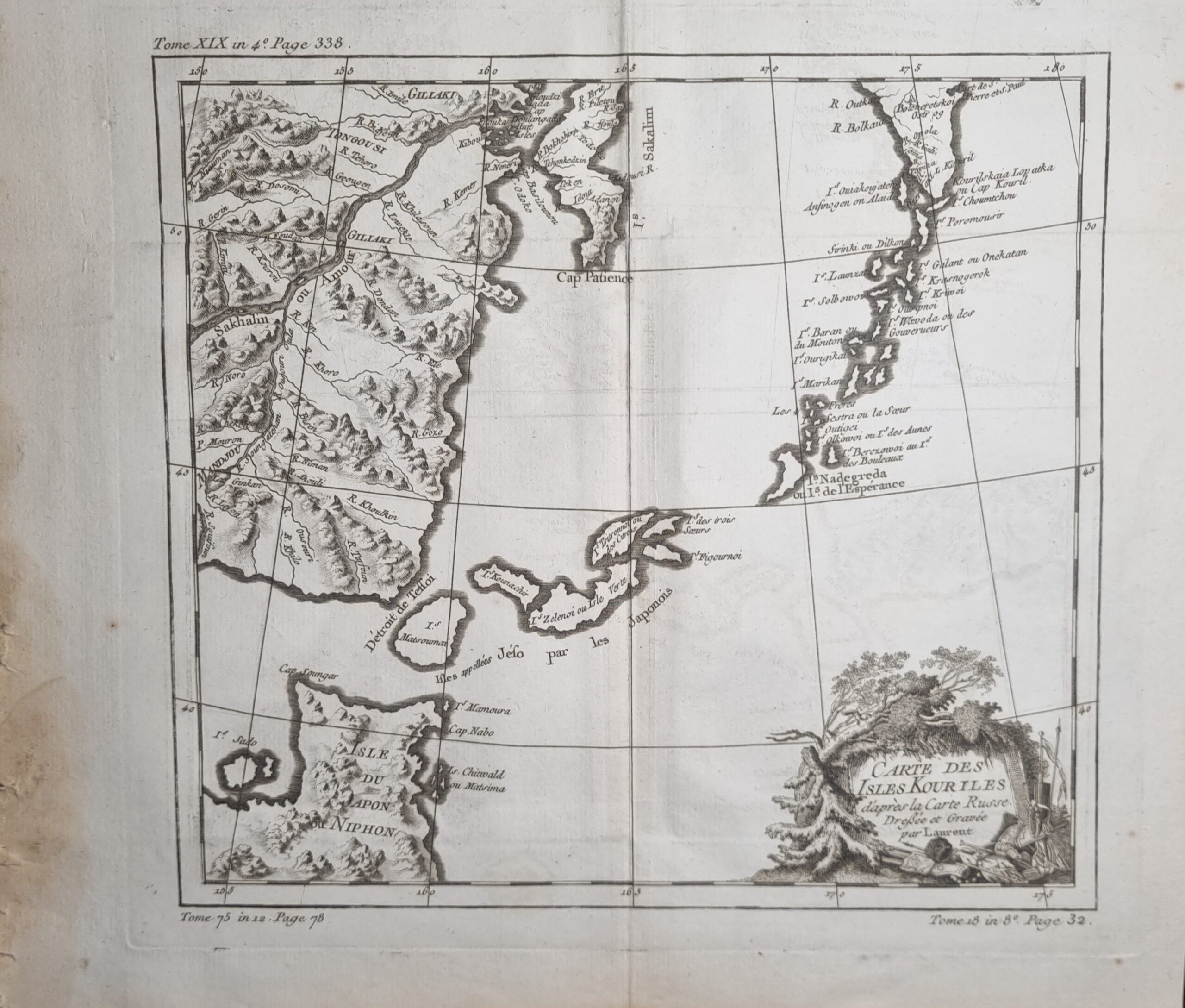
Details striking map of Northern Japan and the contiguous islands and coastline.
The Kuril Islands or Kurile Islands are a volcanic archipelago that stretches approximately 1,300 km (810 mi) northeast from Hokkaido, Japan, to Kamchatka, Russia, separating the Sea of Okhotsk from the North Pacific Ocean. Traditionally the Kuriles are part of Japan however have been under Russian control since World War II.
Additional information
| Author | Jacques Nicolas Bellin |
|---|---|
| Published On | 1780 |
| Country | France |
| Language | French |
| Dimension | 35cm x 29cm |
| Item Weight | 107gm |