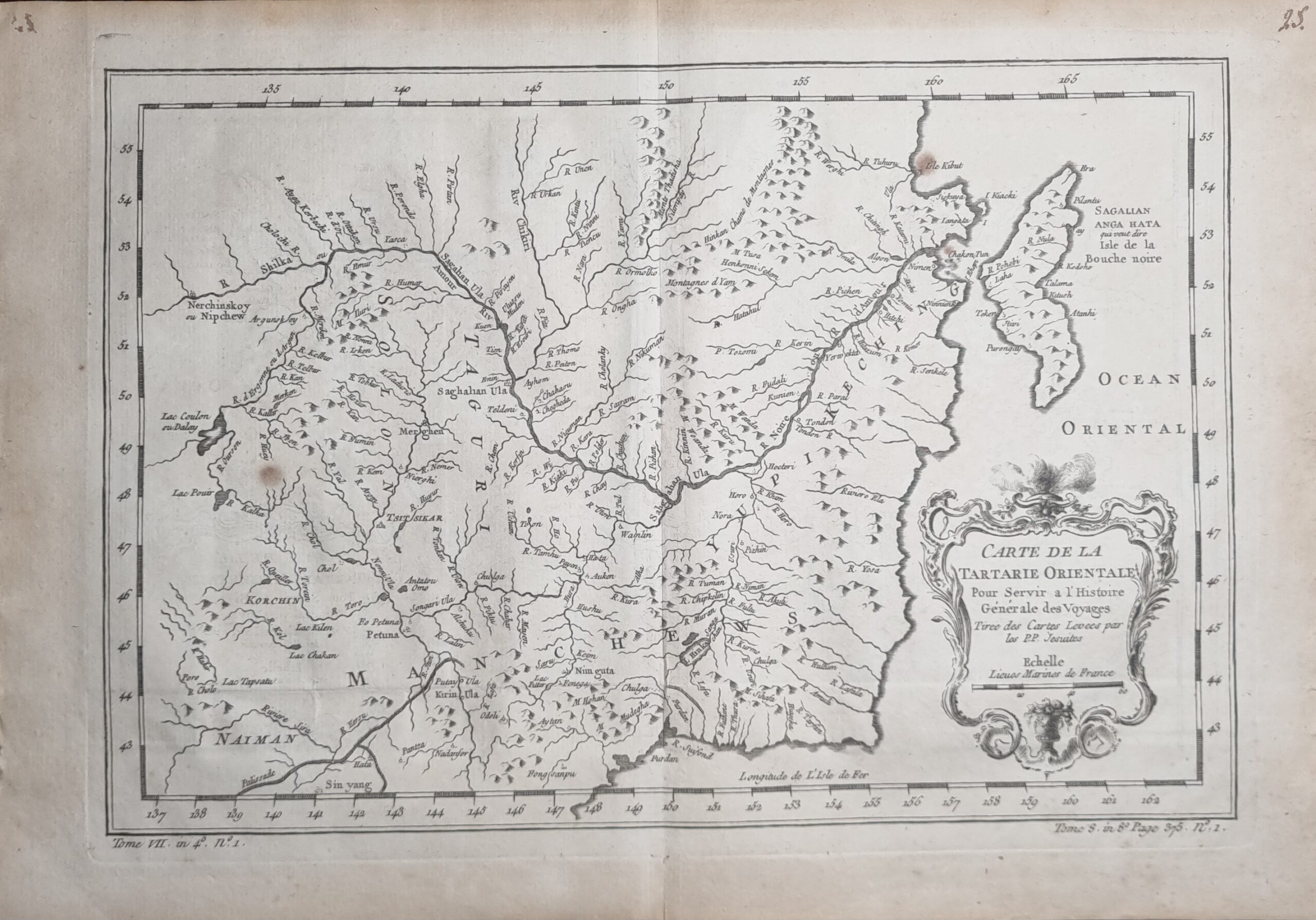
Paris: 1738 – 1775. Detailed copper engraved map of northeast Asia and Manchuria, showing the island “Sagallan Anga Hata” or “Isle de Bouche Noire”. From Prevost’s “L’Histoire Generale des Voyages”.
Bellin (1703 – 1772), one of the most noted French mapmakers of the 18th century, was named the hydrographer (chief cartographer) to the French Navy, and later, the Official Hydrographer to the French King.
Additional information
| Weight | 89 g |
|---|---|
| Dimensions | 37.5 × .05 × 26 cm |
| Author | Bellin |
|---|---|
| Published On | 1738-1775 |
| Country | France |
| Language | French |
| Dimension | 37.5cm x 26cm |
| Item Weight | 89gm |