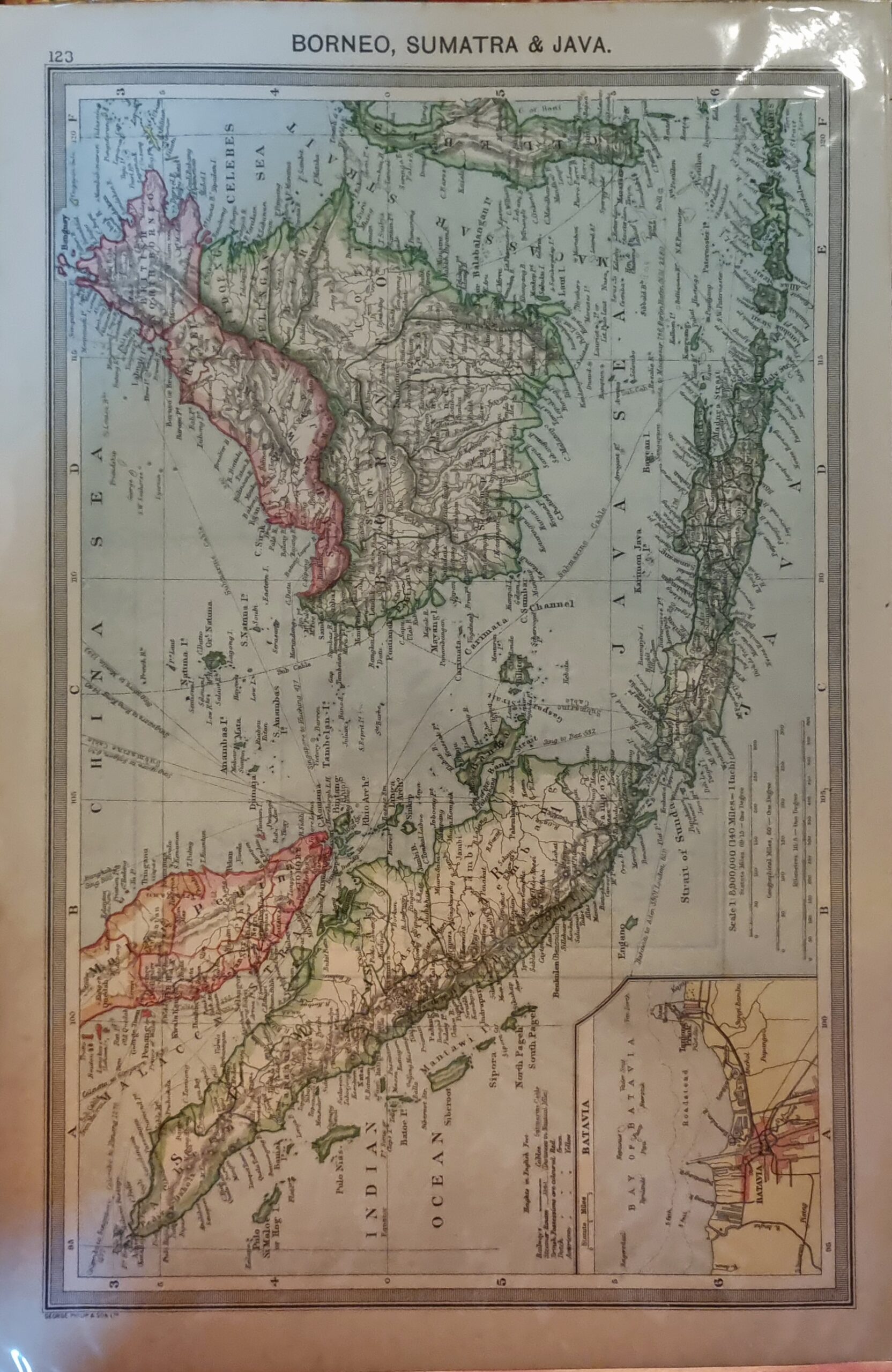
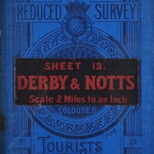
In 1856, George Philip & Son Ltd opened a house at 32 Fleet Street, London, where they sold their geographical and educational publications. They would later also occupy the premises next door at numbers 31 and 30 Fleet Street. In 1859, the company took over Caxton Buildings in South John Street, Liverpool, which became the company's headquarters in the city. With the establishment of their printing works in Caxton Buildings, new power-driven machinery gave the company the capacity to increase production.
Philip used cartographers such as John Bartholomew the elder, August Petermann, and William Hughes to produce maps on copper plates. Philip then had these printed and hand-coloured by his women tinters. By the time he produced his county maps of 1862 he was using machine coloured maps produced on power-driven lithographic presses. 'His maps ranged from the expensive Imperial Library Atlas (1864) to an atlas costing as little as 3d. and, although the bulk of his production was for the commercial, and particularly the educational market, he also produced important scientific maps, notably of North America, especially the Arctic and Pacific Northwest, and of the West Indies. The firm supplied atlases, geographical and history books, school textbooks, and an array of educational books and equipment. The company also produced textbooks for overseas countries, starting with an atlas for Australian schools in 1865 and for New Zealand in 1869.
(https://en.wikipedia.org/wiki/George_Philip_(cartographer))


