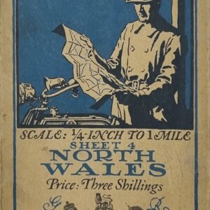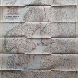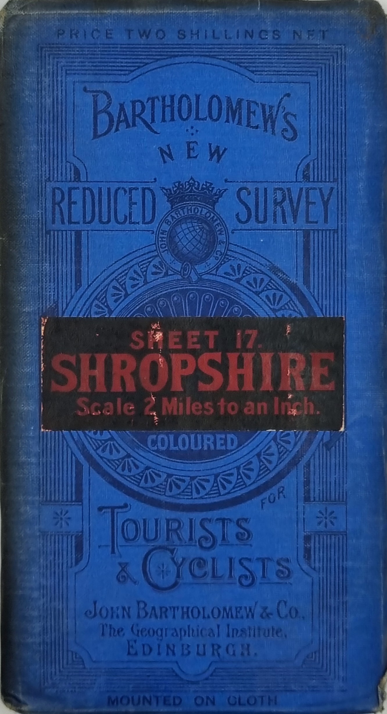
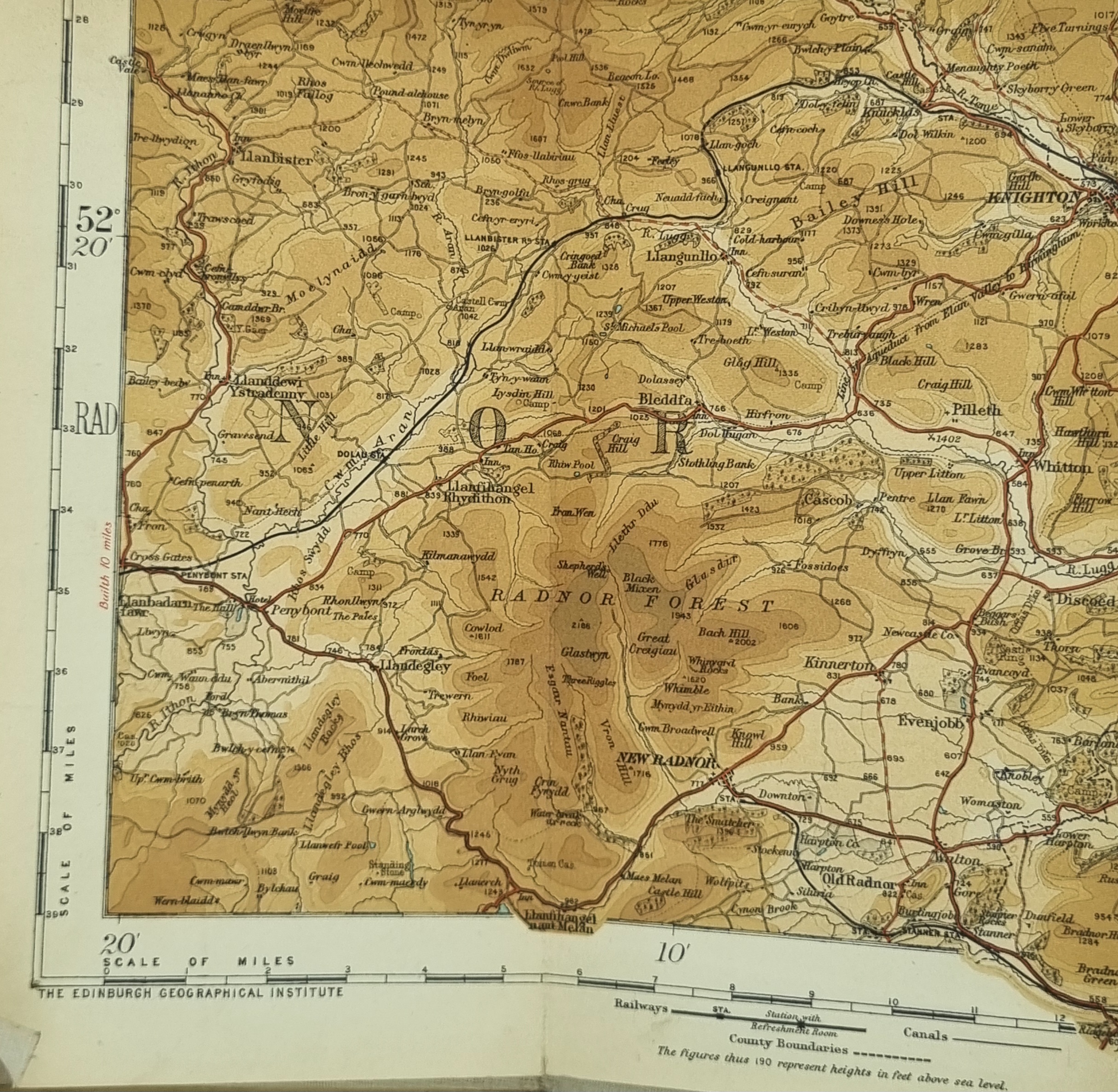
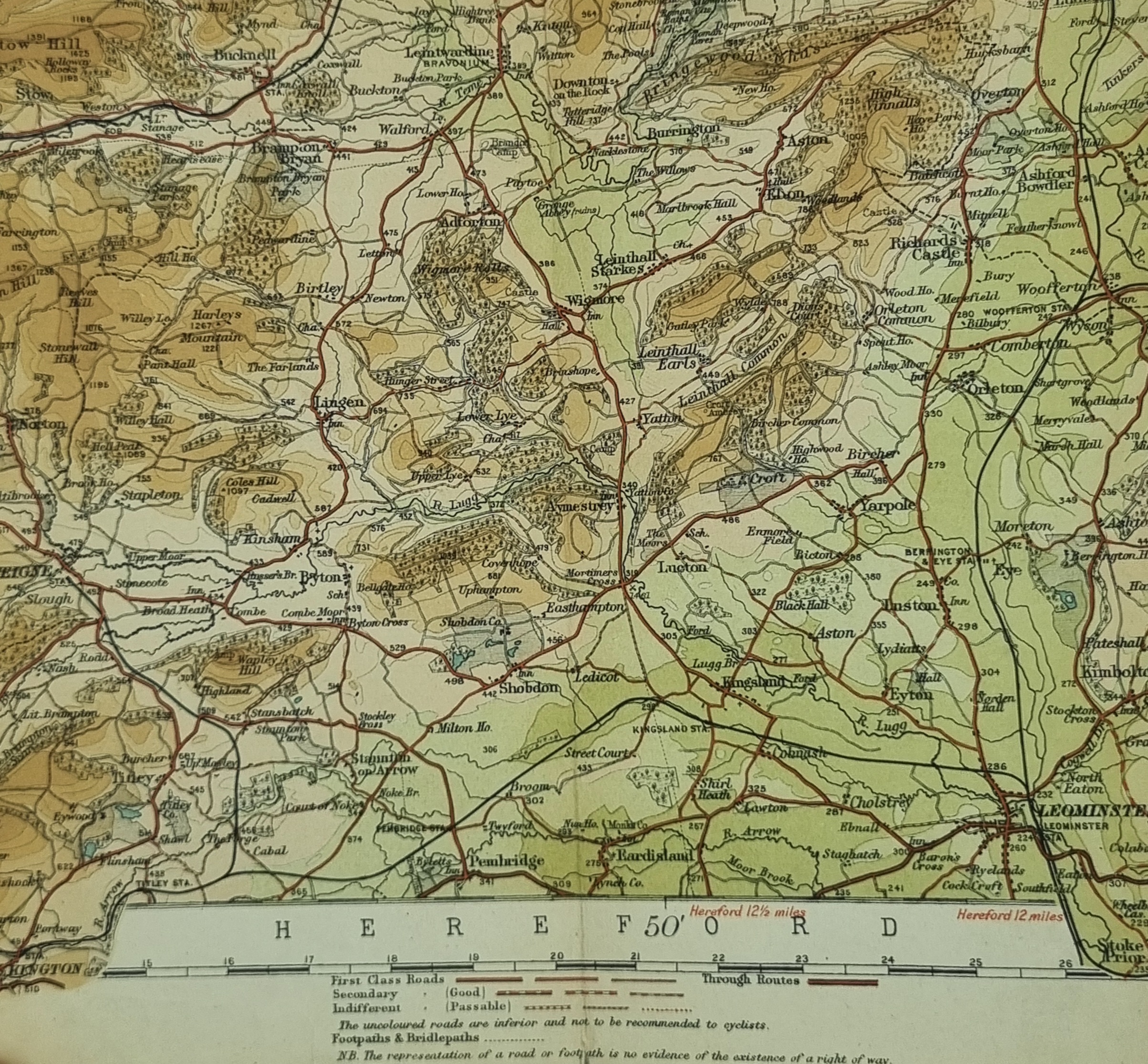
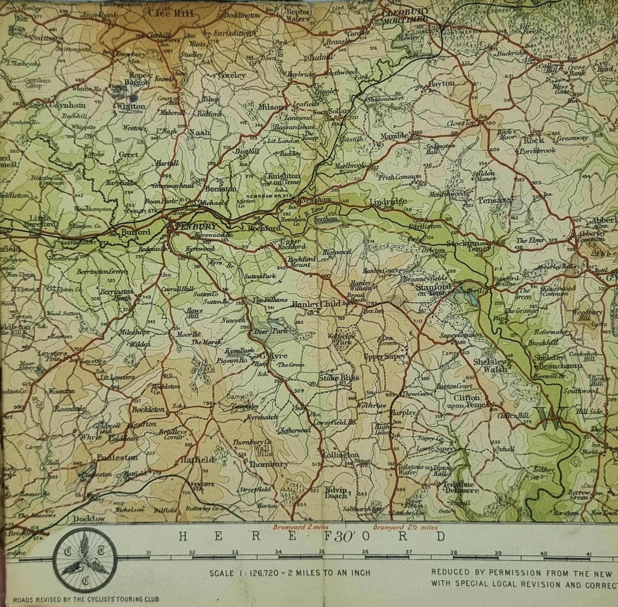
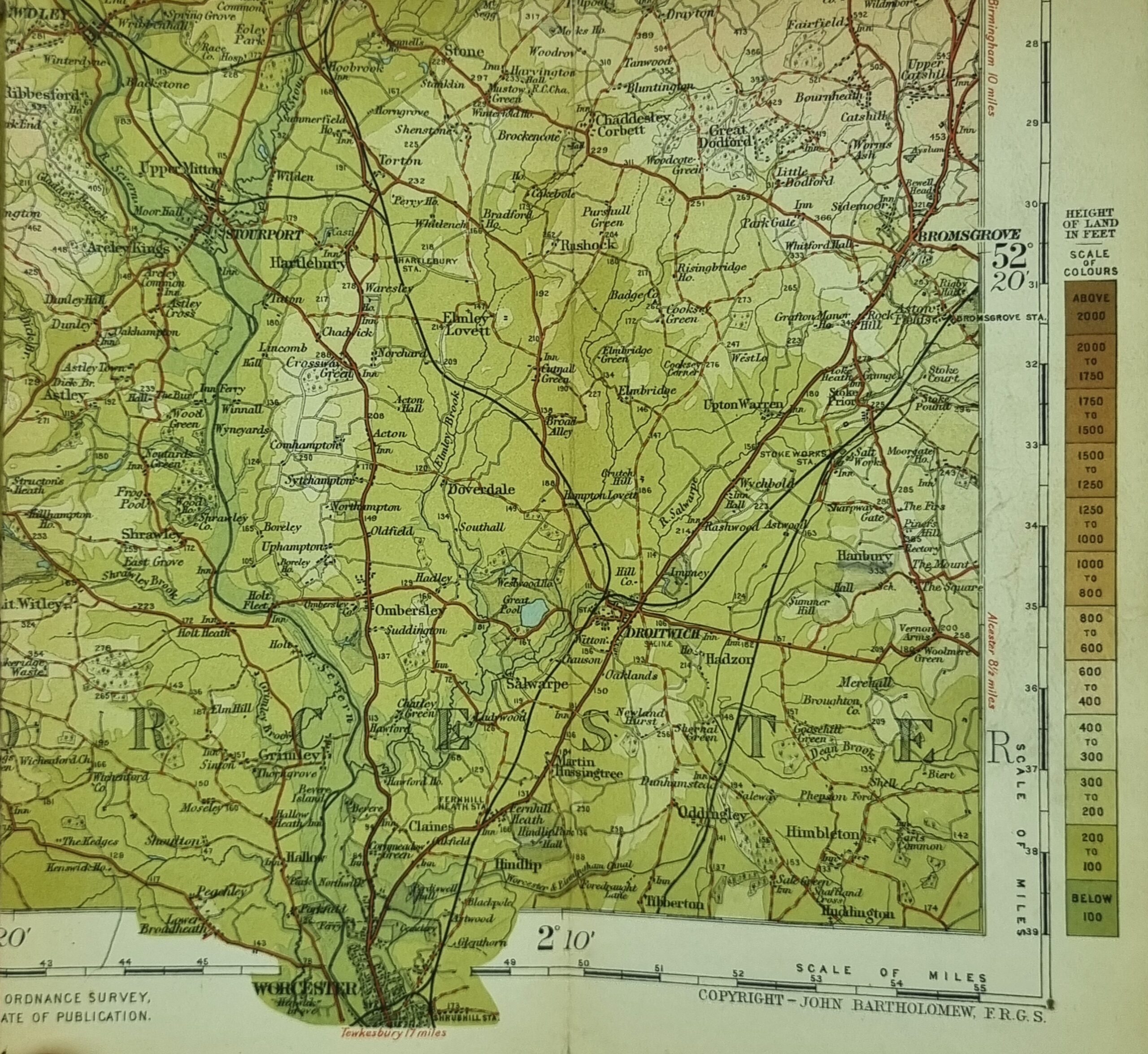
Bartholomews Maps Shropshire was published by John Bartholomew Senior (1805–9 April 1861), began working independently in about 1826, founding the firm that bears his name. John Bartholomew Junior (1831–1893) and his son John George Bartholomew (1860–1920) brought the firm to prominence as the renamed 'Edinburgh Geographical Institute'. In particular, J.G. Bartholomew made the firm a publisher of its own works, rather than a producer of maps for other firms.
John (Ian) Bartholomew (1890–1962) oversaw the Times Survey Atlas of the World (1922) and later the Mid-Century Edition of the Times Atlas of the World (1955–60). The cartographic tradition continued into a fifth family generation. John Christopher Bartholomew (1923–2008) shared his ancestors' fascination with the natural sciences, their meticulous standards and spirit of enterprise, and oversaw the publication of some of the most detailed maps of the last century, including The Times Comprehensive Atlas of the World (1967). His brother Robert, who was trained in printing, soon became the production director, and another brother, Peter, who was trained in accountancy, was first appointed as managing director and later became executive chairman.
In 1989, the firm merged with the Glasgow publisher Collins, as part of the multinational HarperCollins Publishers under Rupert Murdoch's News International corporation. A range of maps and atlases are still being published today under the imprint of HarperCollins, but the name of Bartholomew survives as the trade name of HarperCollins' cartographic databases (Collins Bartholomew) based in Bishopbriggs, Glasgow.
The British Isles mapping arm (formerly Geographia Ltd.) was based in Cheltenham until that office was closed in 2009 and remaining staff made redundant in 2010. Collins Geo in Bishopbriggs continues to handle world mapping, British Isles map products, and sales of geographical data. (https://en.wikipedia.org/wiki/John_Bartholomew_Sr.)
Additional information
| Weight | 77 g |
|---|---|
| Dimensions | 59 × .5 × 86 cm |