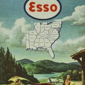
American Map – Chinese Version
American Map – Chinese Version
$49.00
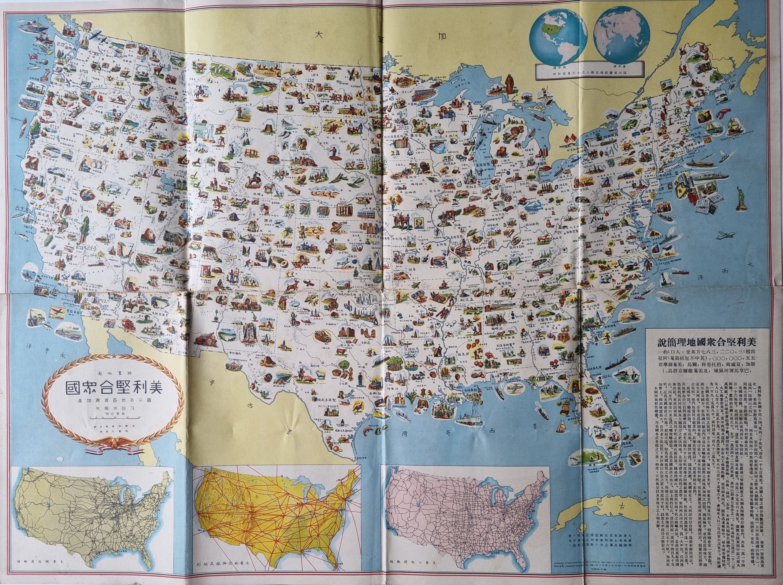
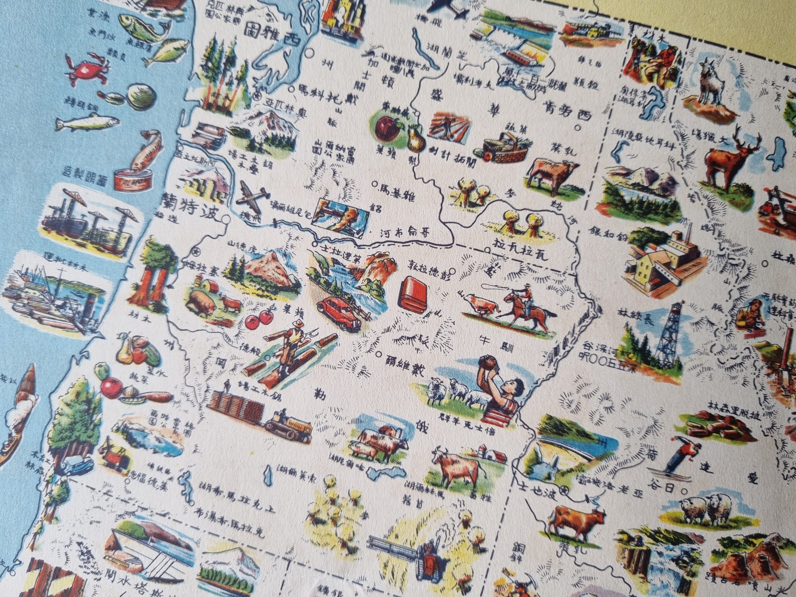
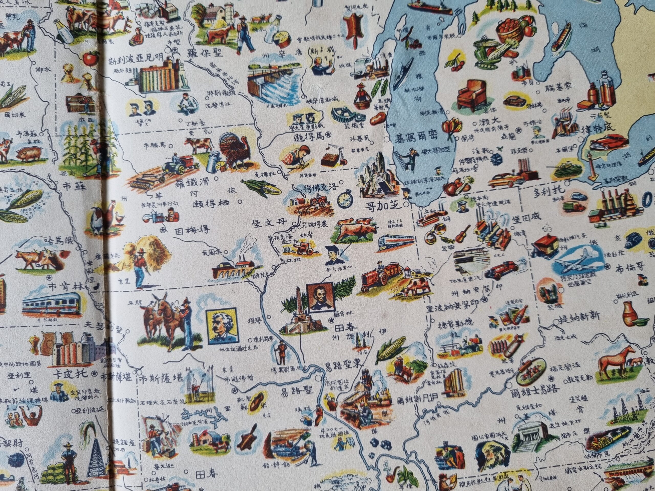
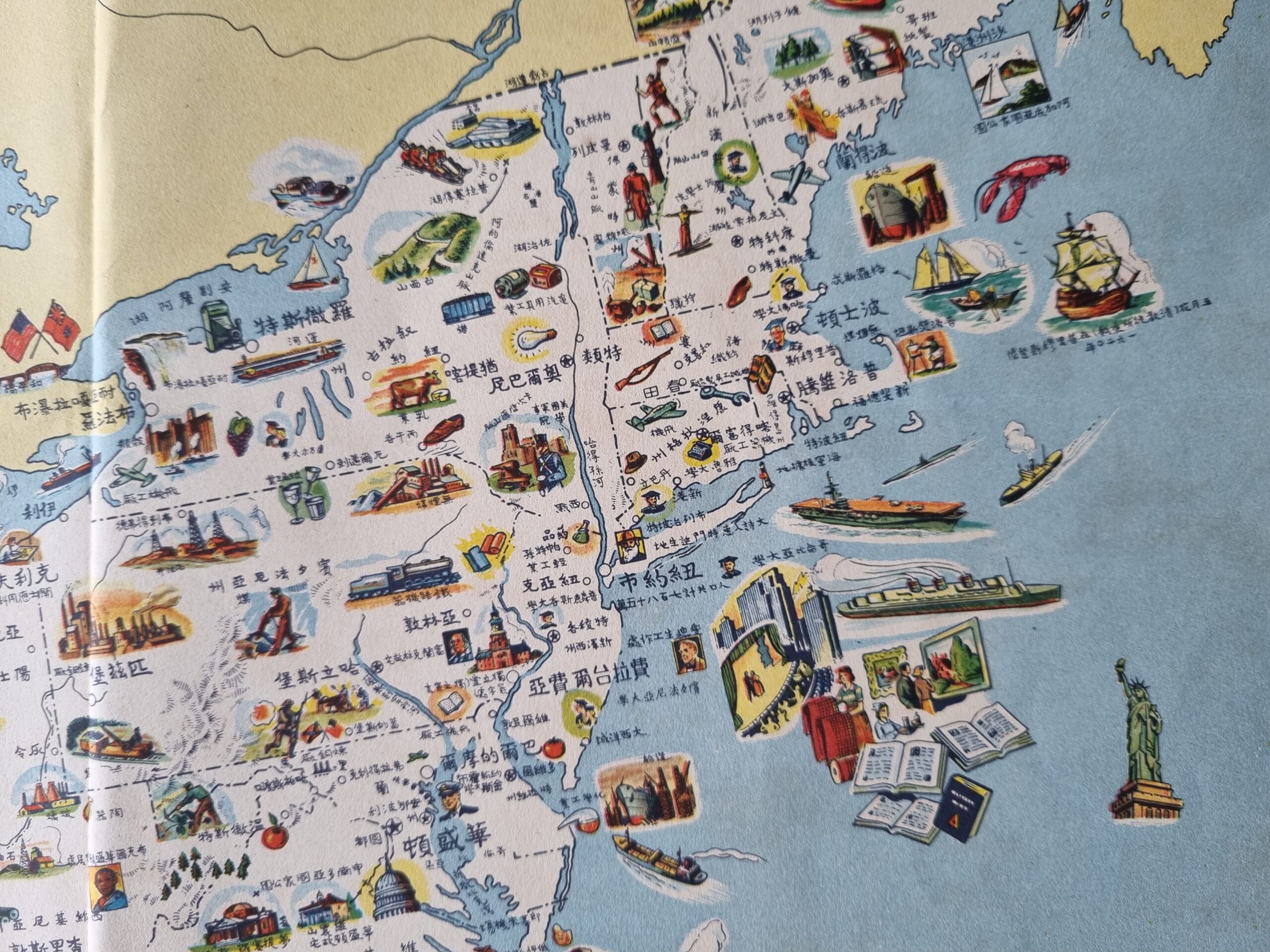
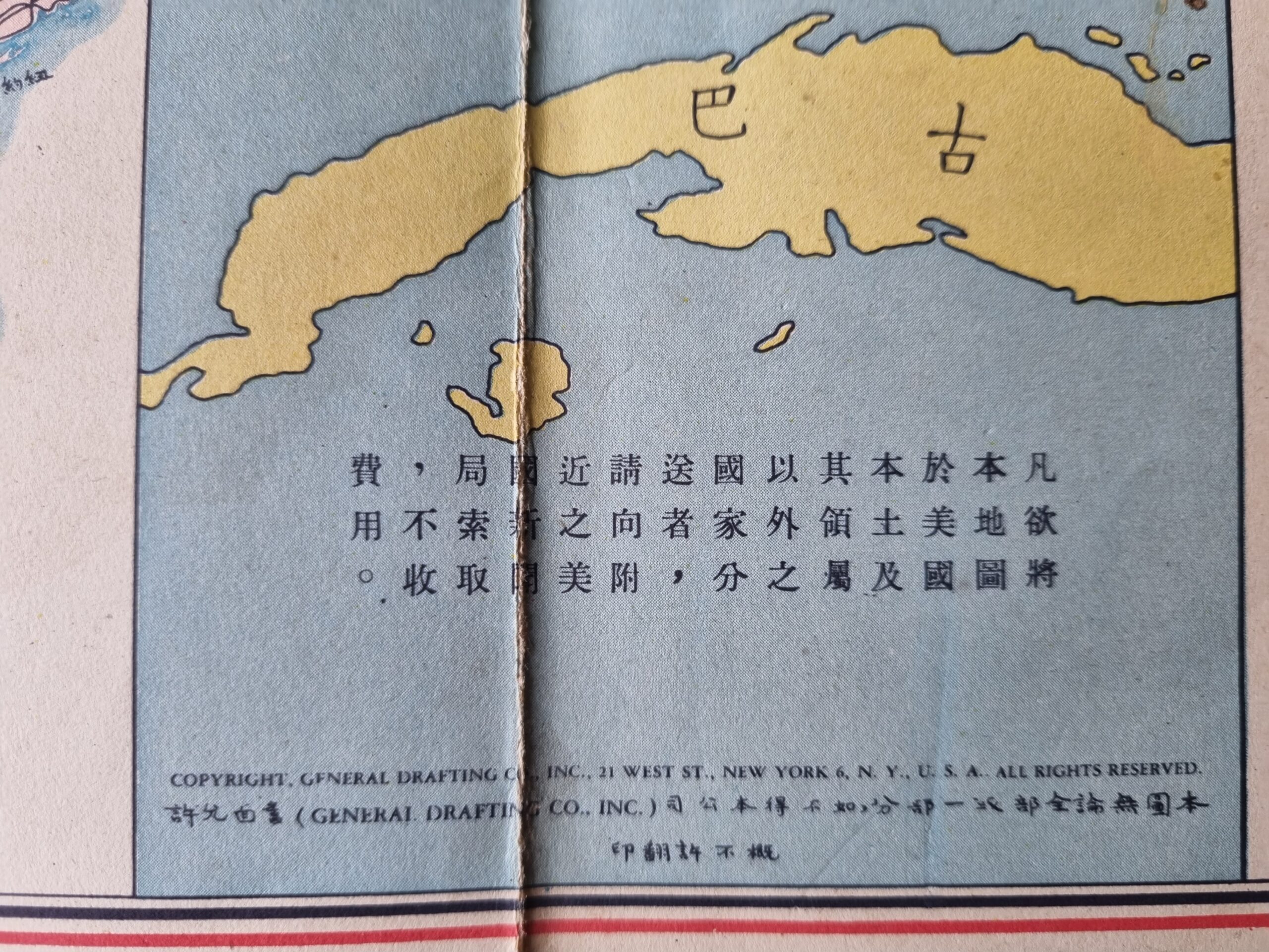
Map Circa 1950s, has some tears along folds, in a fair condition given its age. Great resource to understand what industries, agriculture and tourist facilities were around in each state in the 1950s as the United States emerged from World War II.
Out of stock
Map Circa 1950s, has some tears along folds, in a fair condition given its age. Great resource to understand what industries, agriculture and tourist facilities were around in each state in the 1950s as the United States emerged from World War II. For those that read Chinese (simplified) it will provide further insights into the US at this time.
Great for someone who is interested in history and has some Chinese language skills.
Additional information
| Weight | 250 g |
|---|---|
| Dimensions | 20 × 1 × 30.5 cm |


