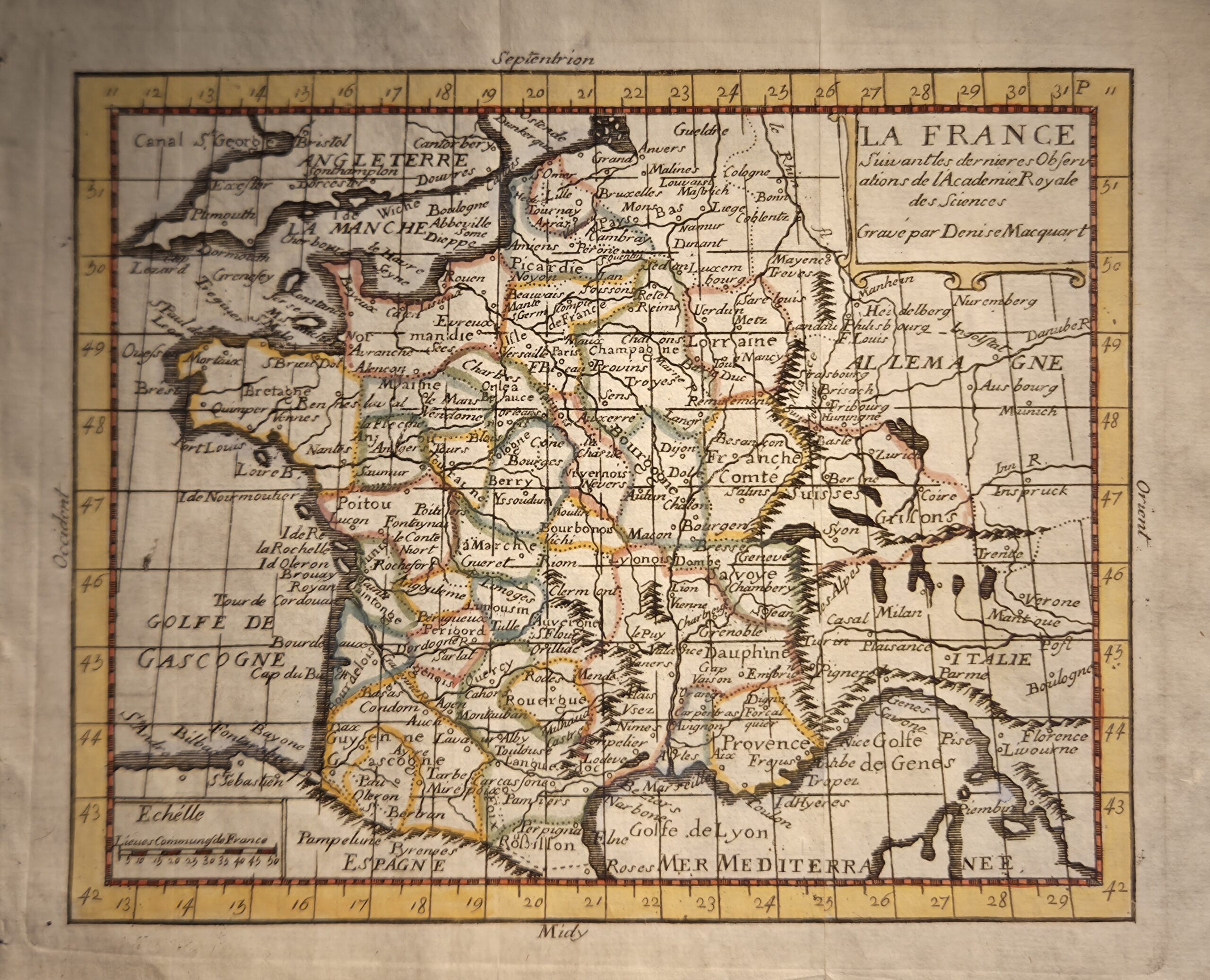
La France, engraved by Denise Macquart and published in Venice by Francesco Pitteri, is a finely executed, hand-coloured map dating to circa 1742. Measuring 20.5 cm × 16.5 cm, this copper-engraved map presents a detailed depiction of France during the early 18th century, capturing provincial boundaries, major rivers, and significant settlements. The map bears the inscription “Gravé par Denise Macquart”, acknowledging the skill of the engraver, whose work reflects the precision and elegance characteristic of French cartography of the period.
Macquart’s engraving style demonstrates careful line work and clear labeling, while subtle hand colouring enhances the legibility of regional divisions and adds a decorative touch. The map follows contemporary geographical knowledge and may reference the latest observations of the Académie Royale des Sciences, aligning it with scholarly standards of accuracy.
Originally published for the European market, this map illustrates the intersection of art and science in 18th-century mapmaking. Its compact size, fine engraving, and hand-coloured finish make it both a practical reference and a visually appealing object. As a rare example of Macquart’s work, it is of interest to collectors of historical French cartography and hand-coloured 18th-century maps, offering insight into contemporary representations of France and the broader European mapping tradition.
Additional information
| Weight | 10 g |
|---|---|
| Dimensions | 20.5 × .005 × 16.5 cm |
| Author | Denise Macquart (engraver) |
|---|---|
| Publisher | Francesco Pitteri |
| Published On | 1742 |
| Country | Venice: Italy |
| Language | French |
| Dimension | 20.5 cm × 16.5 cm |
| Item Weight | 10gm |