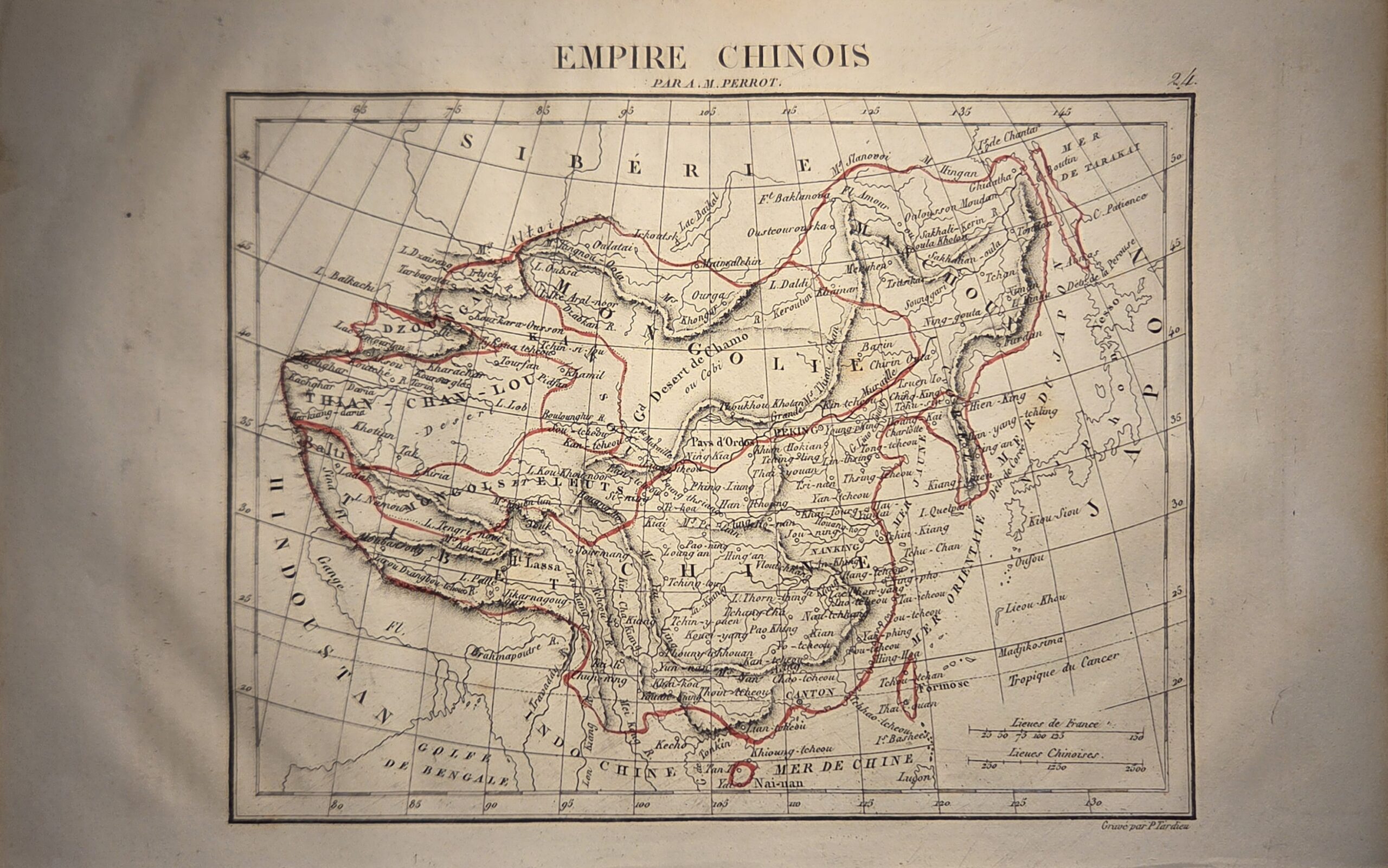
Empire Chinois, by Aristide‑Michel Perrot (A. M. Perrot), is a finely engraved map originally published in Paris in 1837 as part of the atlas accompanying his Dictionnaire universel de géographie moderne (Houdaille / Delloye). The map presents a comprehensive depiction of China during the early 19th century, detailing provincial boundaries, major rivers, mountain ranges, and principal settlements. Perrot’s careful use of engraving and subtle hand-colored outlines ensures clarity while maintaining an elegant aesthetic, characteristic of French cartography of the period.
Intended as both a scholarly reference and a visual guide for readers of the dictionary, the map reflects contemporary European knowledge of China, combining geographic accuracy with informative labeling of political and natural features. The inclusion of towns, waterways, and topographical elements demonstrates Perrot’s commitment to precision, making it a valuable resource for historians and collectors alike.
Measuring approximately 27.5cm x 17.5cm, the map exemplifies the intersection of utility and artistry in early 19th-century atlases. Its provenance and condition make it a rare and desirable example of French cartographic scholarship, offering insight into how China was understood by European geographers prior to the expansion of Western exploration and trade. This map is a distinguished addition to any collection of historical Asian cartography.
Additional information
| Weight | 10 g |
|---|---|
| Dimensions | 27.5 × .005 × 17.5 cm |
| Author | Aristide-Michel Perrot |
|---|---|
| Publisher | Houdaille & Delloye |
| Published On | 1837 |
| Country | Paris: France |
| Language | French |
| Dimension | 27.5cm x 17.5cm |
| Item Weight | 10gm |