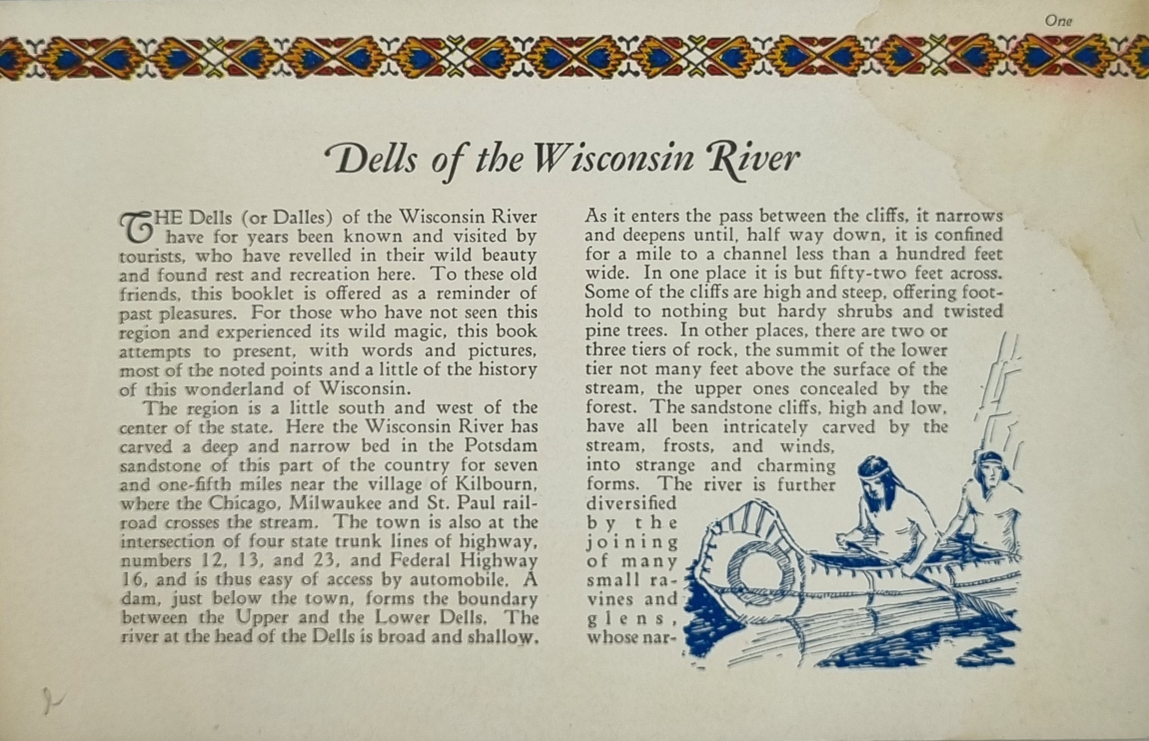
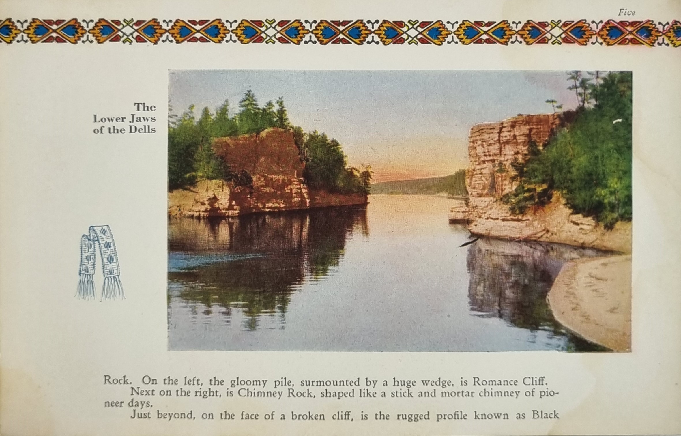
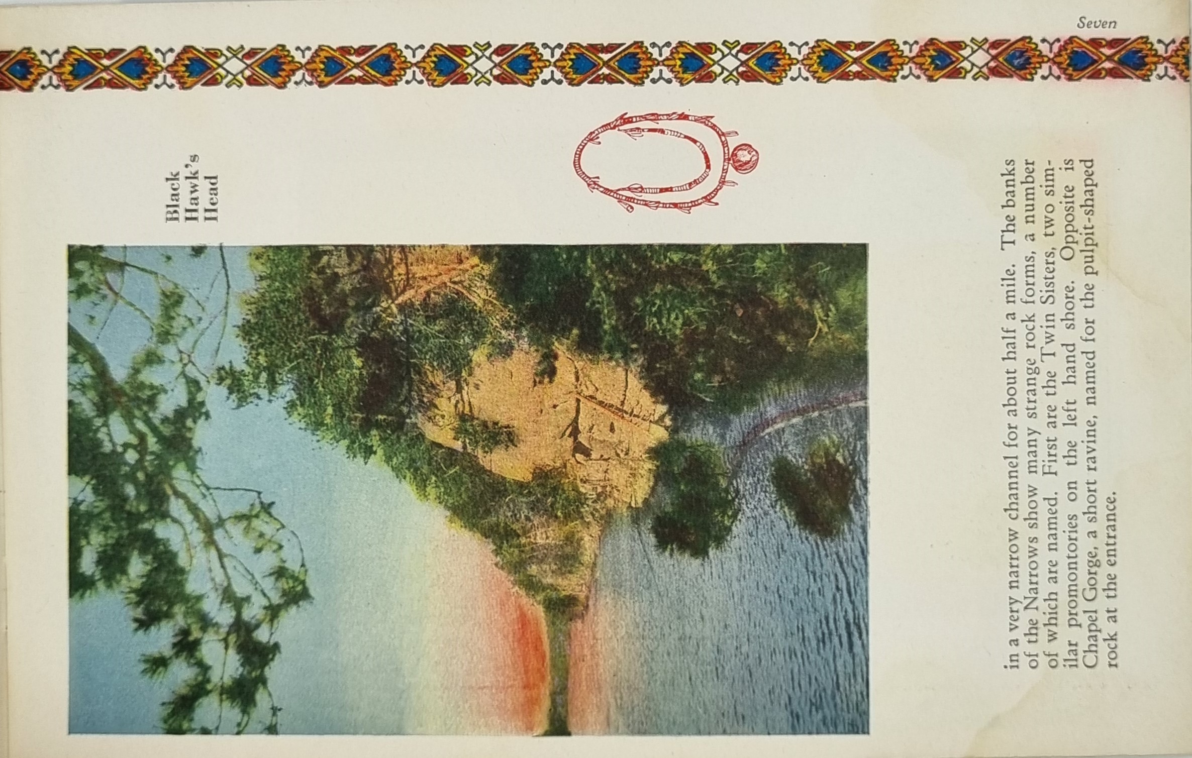
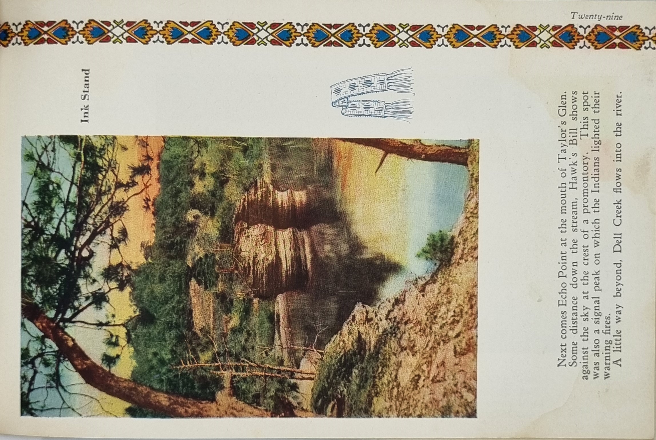
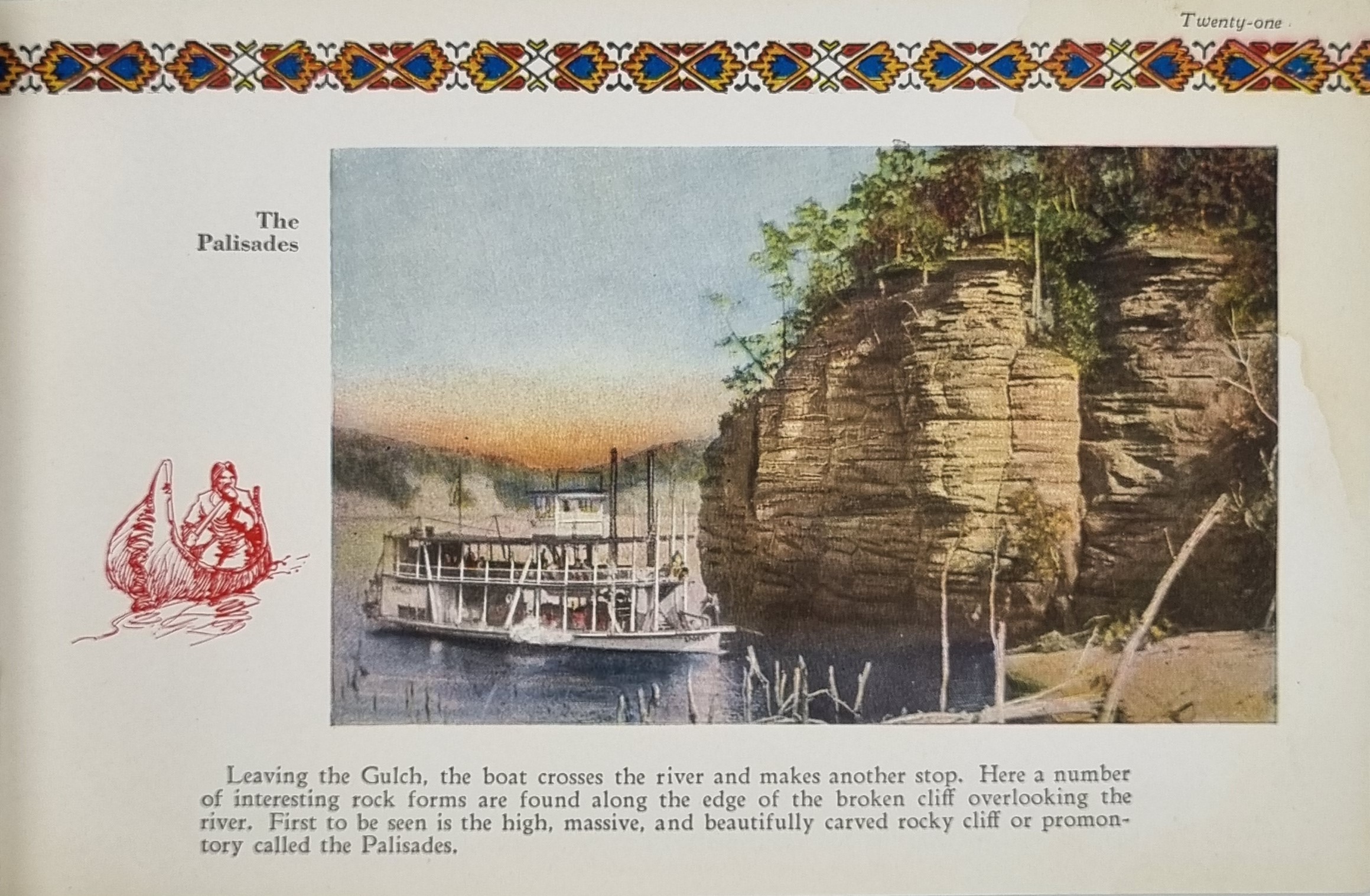
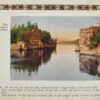
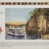
The Dells of the Wisconsin River, also called the Wisconsin Dells (from Old English “dæle”, modern English “dale”), meaning “valley”, is a 5-mile (8-km) gorge on the Wisconsin River in south-central Wisconsin, USA. It is noted for its scenic beauty, in particular for its unique Cambrian sandstone rock formations and tributary canyons. The formations are divided into the "Upper Dells" and the "Lower Dells" by the Kilbourn Dam.
The cliffs, some over 100 feet (30 m) high, and side canyons are closed to the public to protect sensitive ecological features. The viewing of the rock formations by water is a popular tourist attraction in the area. The nearby city of Wisconsin Dells is the center of summer tourist activity, much of it in the form of the theme parks unrelated to the river features. The Dells of the Wisconsin River is owned by the Wisconsin Department of Natural Resources. It was established as a State Natural Area in 1994.
The Dells was formed during the Last Glacial Period approximately 15,000 years ago, although the rock itself is much older, dating from the Cambrian Period approximately 510–520 million years ago when the area of Wisconsin was at the bottom of a shallow sea. Approximately 19,000 years ago, the Dells was at the extreme western margin of the continental glacier. However, the Dells itself was never covered by glacial ice sheets – it was part of the large Driftless Area that was bypassed by the ice. The melting of the glacier formed Glacial Lake Wisconsin, a lake about the size of Great Salt Lake in Utah and as deep as 150 feet (45 m). The lake was held back by an ice dam of the remaining glacier. The eventual bursting of the ice dam unleashed a catastrophic flood, dropping the lake's depth to 50 feet (15 m) and cutting deep, narrow gorges and unusual rock formations into the sandstone seen today.
Additional information
| Weight | 86 g |
|---|---|
| Dimensions | 22 × .05 × 14 cm |


