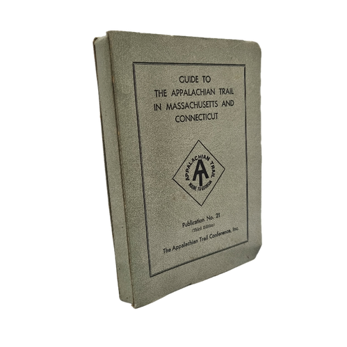
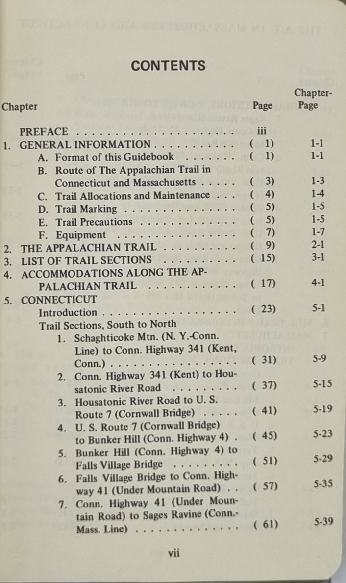
Guide To The Appalachian Trail In Massachusetts and Connecticut: The official guide to the 141 miles of the Appalachian Trail between the Vermont and New York lines, paralleling the western borders of Massachusetts and Connecticut. This book includes maps including elevation profiles, shelters and other features, and water sources. Features of the Massachusetts-Connecticut route include Mt. Greylock, the nearby towns of the Berkshires, and the river walks of western Connecticut. The range of the maps is from several miles into Vermont to about 20 miles into New York.
This softcover book was printed in 1972 and is the third edition, clean copy although there are some printing flaws with folded pages.
Additional information
| Weight | 194 g |
|---|---|
| Dimensions | 17 × 2 × 12 cm |
| Author | The Appalachian Trail Conference Inc |
|---|---|
| Publisher | The Appalachian Trail Conference Inc |
| Published On | 1971 |
| Pages | 226 |
| Country | Harpers Ferry: USA |
| Language | English |
| Dimension | 17cm x 12cm |
| Item Weight | 194 gms |
| 3D Book URL | https://hungrytraveller.com.au/3d-flip-book/guide-to-the-appalachian-trail-massachusetts/ |